
Geographic
Information
Systems
Applications in Natural Resource Management

GIS Applications
The digital mapping capabilities of GIS allows us
to examine landscapes in ways that would be
impossible or nearly impossible with other tools
GIS capabilities that benefit natural resource
applications include:
Measurements of landscapes or structures
Resource mapping
Overlays or integration of multiple information layers
Modeling resources
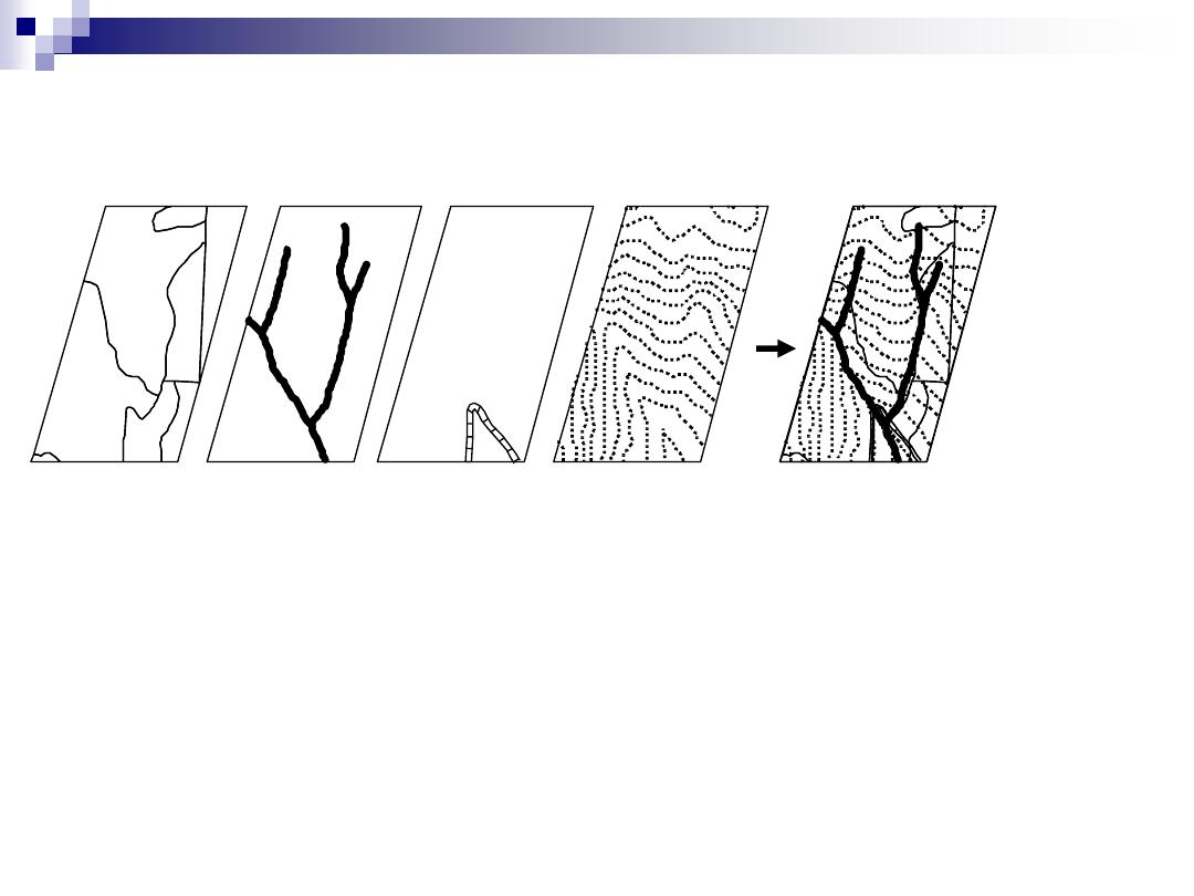
Stand Types
Hydrology
Roads
Composite Layers
Topography
Figure 1.1. GIS theme overlay.

Overlay analysis history
The integration of multiple sources of
information
Demonstrated manually in 1854 by Dr. John
Snow in his isolation of cholera sources in
London
Demonstrated again:
1954, Jacqueline Tyrwhitt, Town & Country Planning
Text Book
1969, Ian McHarg, Design with Nature
Wouldn
’t it be great to do this digitally?
The origin of modern day GIS
…

Why GIS and natural resources?
The origins of modern day GIS are with initial databases that described
natural resource conditions
CGIS LUNR MLMIS
Managing natural resources is a complicated business and GIS is
particularly well suited as a mapping and analytical tool to support
management decision-making
Spatial considerations are paramount for natural resource monitoring and
management
Software and hardware developments have brought GIS to the desktop of
many natural resource personnel
Many employees now need to be at least conversant about GIS and related
technology
Technological developments (GPS, LiDAR, Satellite imagery) make spatial
data availability much more affordably and readily than in the past
Educational opportunities for GIS and related tools training is now widely
available

Data collection processes & input
devices
Technology is constantly on the move
Enhancements in digital technology for
measurement applications are frequent
A multitude of tools are available for
spatial data capture but two important data
considerations must always be taken into
account regardless of the sophistication of
the tool: accuracy and precision
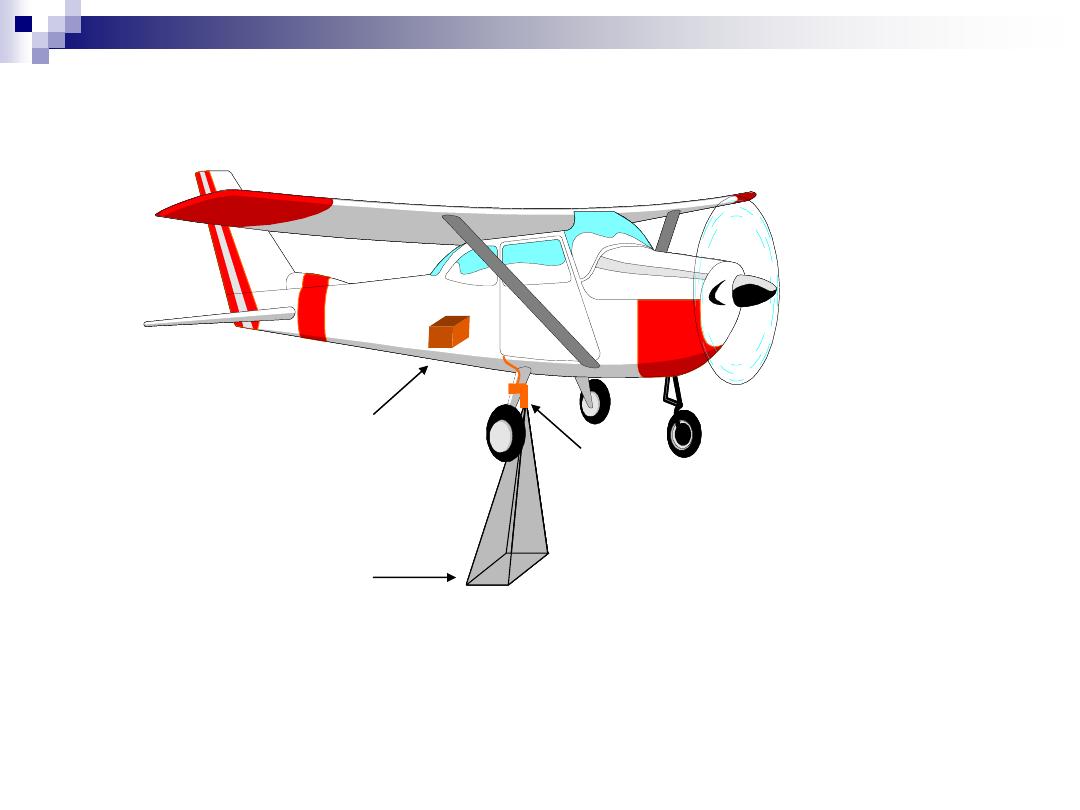
Aerial photography
Digital camera
On-board
computer
Camera field
of view
Figure 1.5. Digital camera mounted on airplane.
0
50
100
0
4
8
12
16
20
24
28
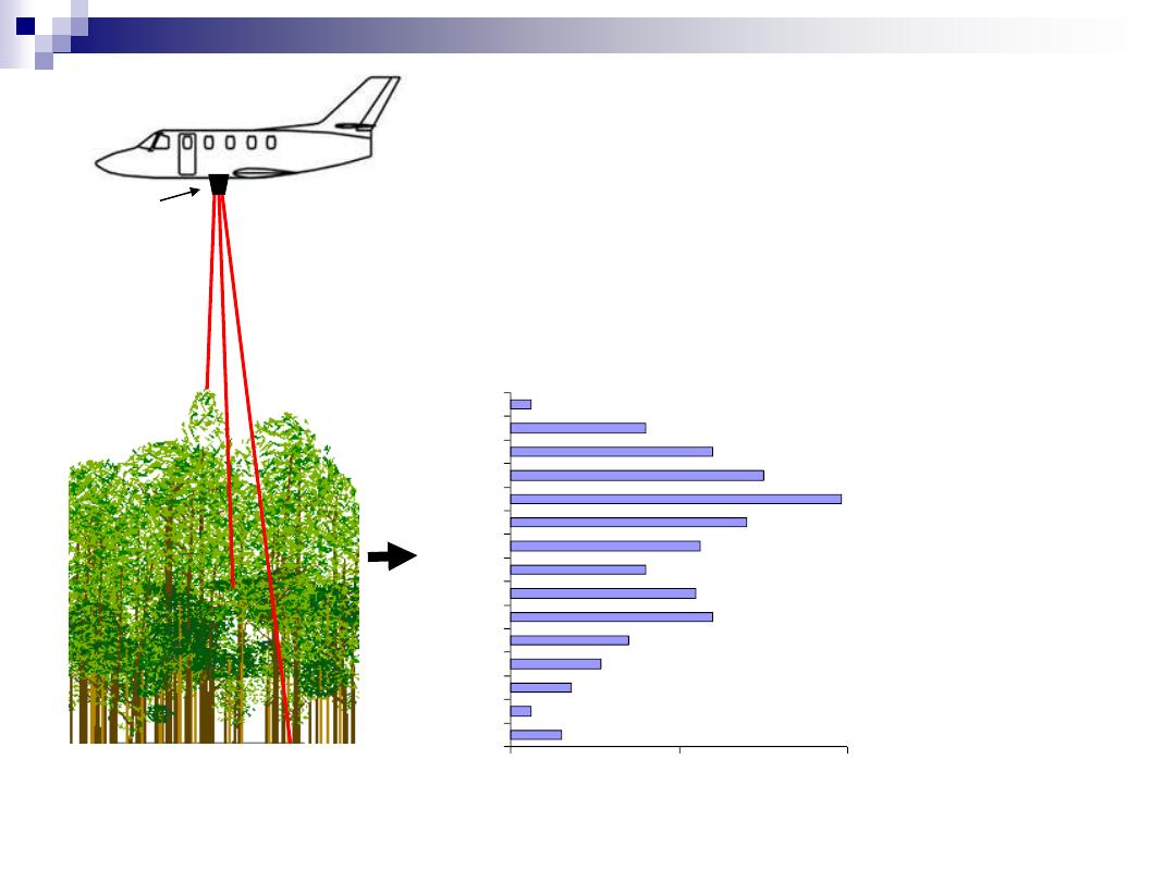
Laser
scanner
Number of laser shots
He
ight
(m)
Figure 1.6. LIDAR system on
aircraft (courtesy Dr. Jason
Drake, U.S. Forest Service).
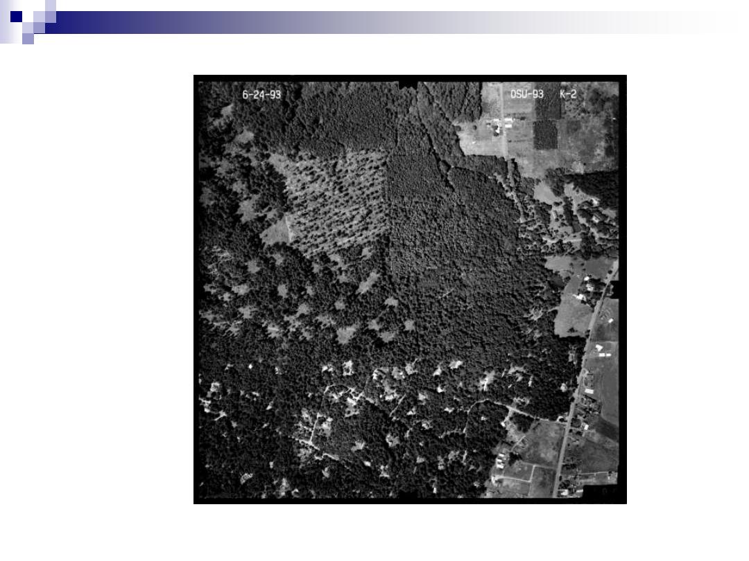
Figure 1.8. Aerial photograph.
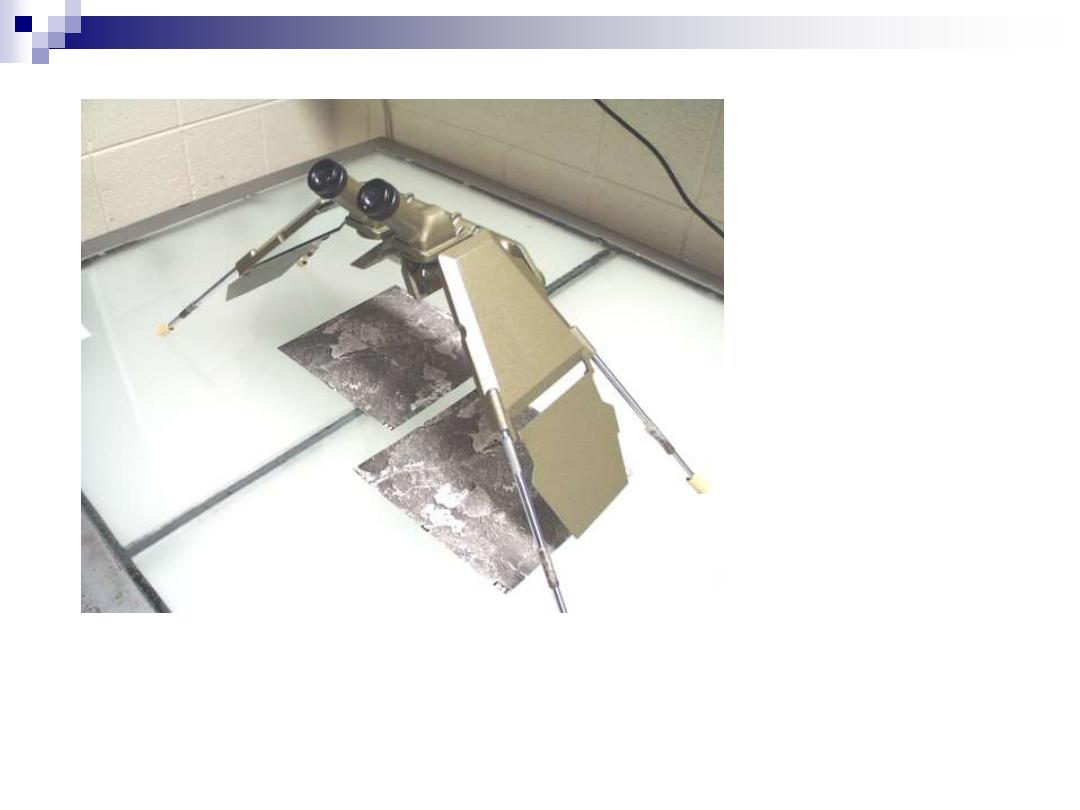
Figure 1.9. Mirror stereoscope.
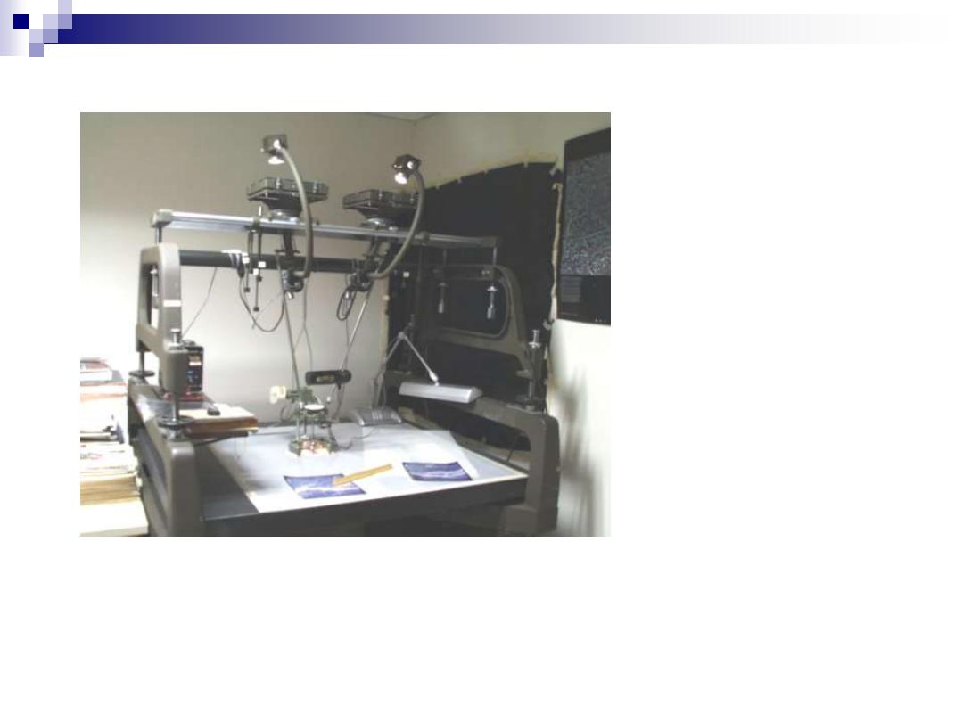
Figure 1.10. Stereoplotter.

Figure 1.11. Laser range finder.
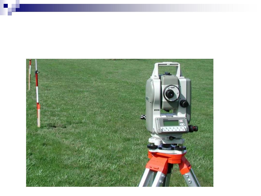
Digital Total Station
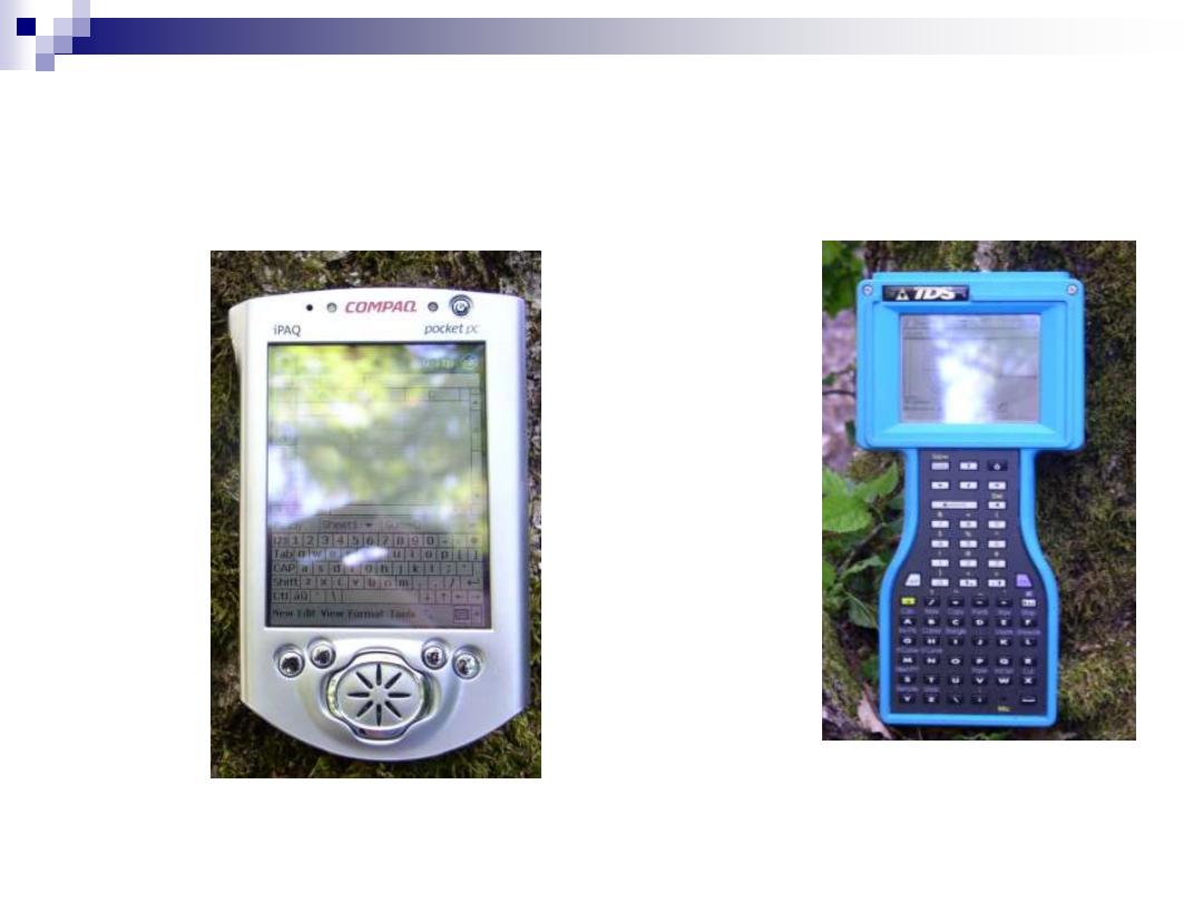
Handheld Data Collectors
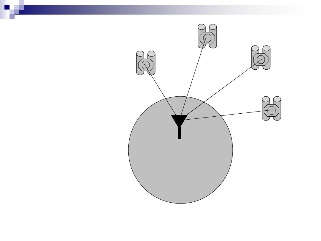
Figure 1.12. GPS schematic.
Satellite
Satellite
Satellite
Satellite
Receiver
Earth
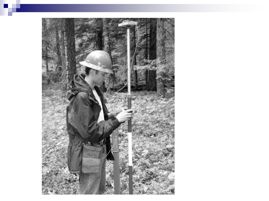
Figure 1.13. GPS
receiver and
antenna.
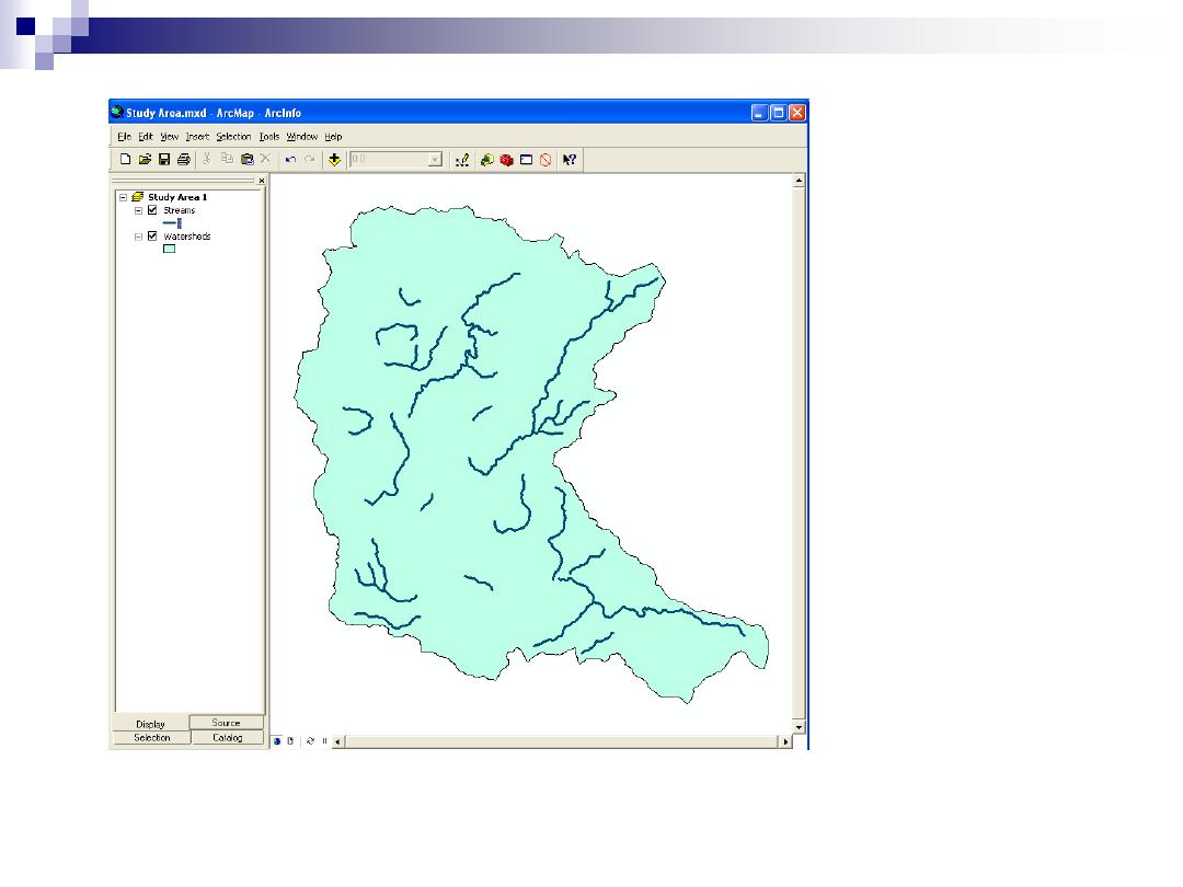
Figure 1.15. Screen display.
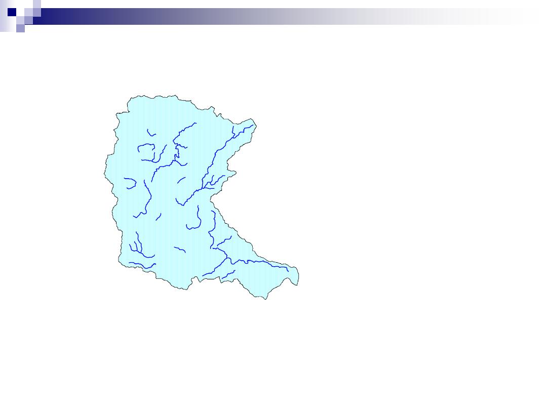
Figure 1.16. Graphic image.

GIS software
Several major packages
ArcGIS, MGE Microstation, ERDAS Imagine
Many smaller, less featured programs
MapInfo, Geomedia, ArcView 3.2
Evaluating a program is complicated
Prices, capabilities, compatibility, support, user groups are all
factors that need to be carefully considered
Bernard, A.M., & Prisley, S.P. 2005. Digital mapping
alternatives: GIS for the busy forester. Journal of
Forestry, 103(4), 163
–8.
Examined nine GIS software packages costing less than $500