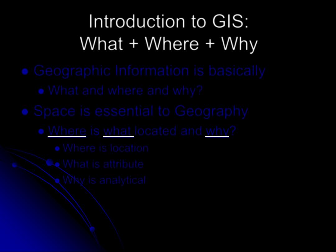
Introduction to GIS:
What + Where + Why
Geographic Information is basically
What and where and why?
Space is essential to Geography
Where is what located and why?
Where is location
What is attribute
Why is analytical
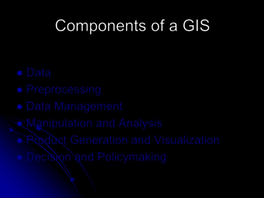
Components of a GIS
Data
Preprocessing
Data Management
Manipulation and Analysis
Product Generation and Visualization
Decision and Policymaking
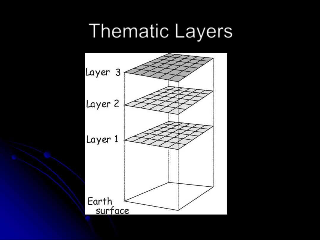
Thematic Layers
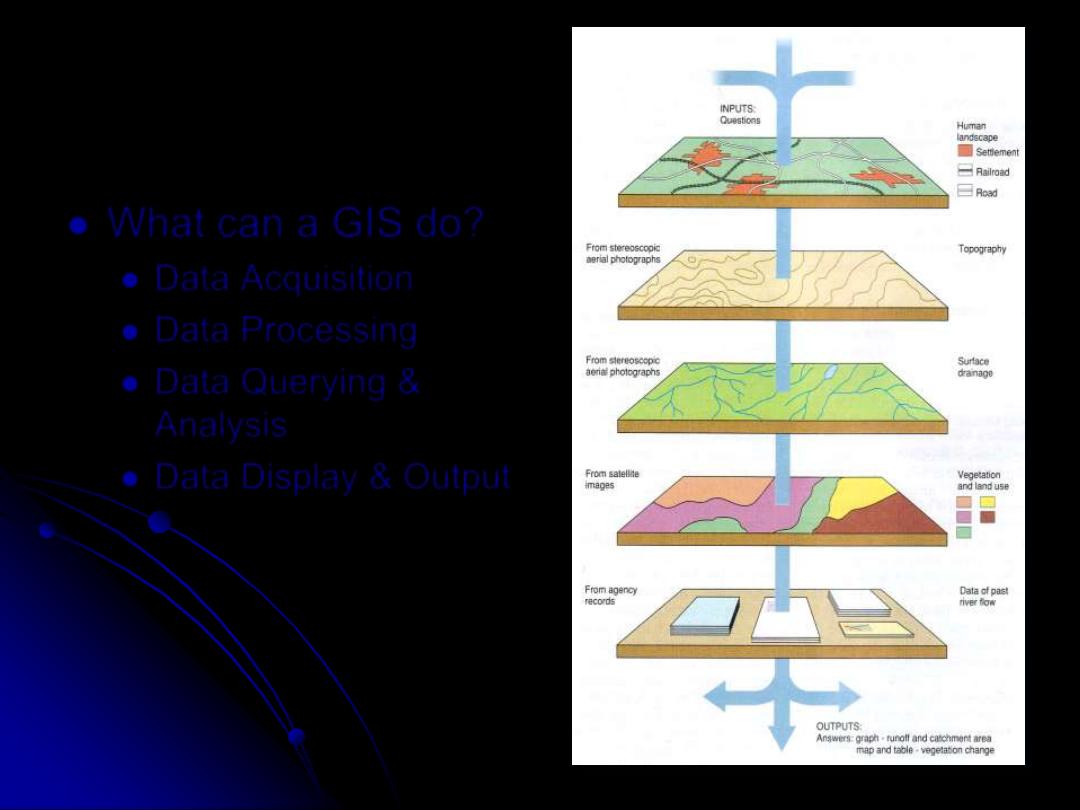
What can a GIS do?
Data Acquisition
Data Processing
Data Querying &
Analysis
Data Display & Output
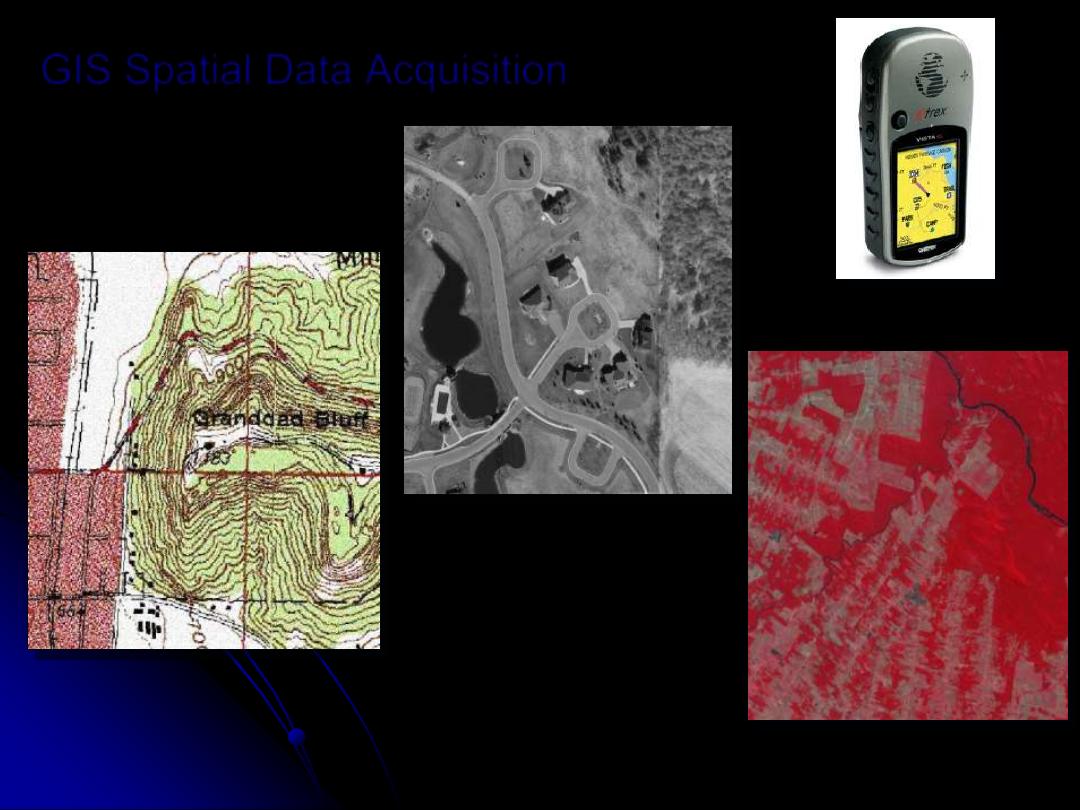
GIS Spatial Data Acquisition
Garmin eTrex GPS
Receiver
Satellite Image of
Amazon Deforestation
Topographic Map of Granddad
Bluff
Aerial Photograph
of La Crosse
Subdivision
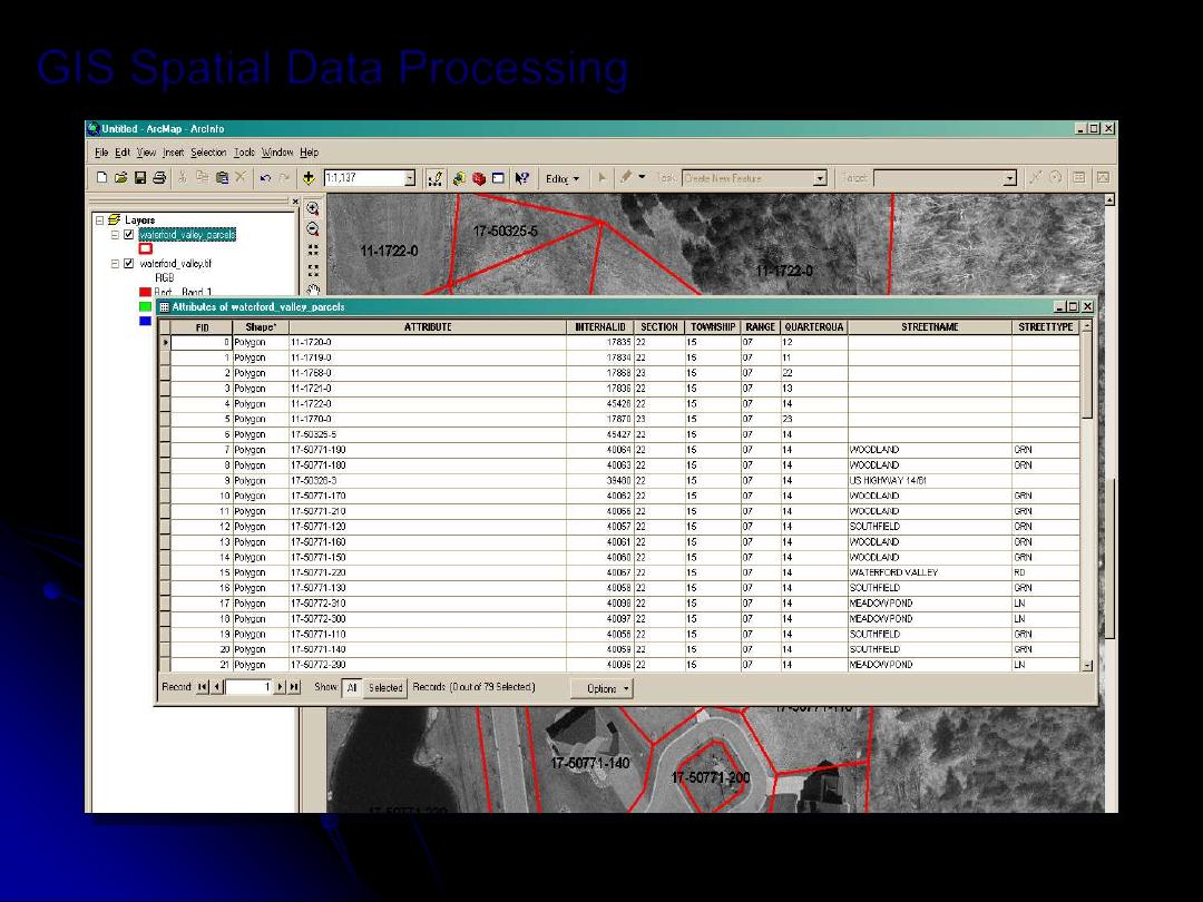
GIS Spatial Data Processing
Attributes of La Crosse Land Parcels
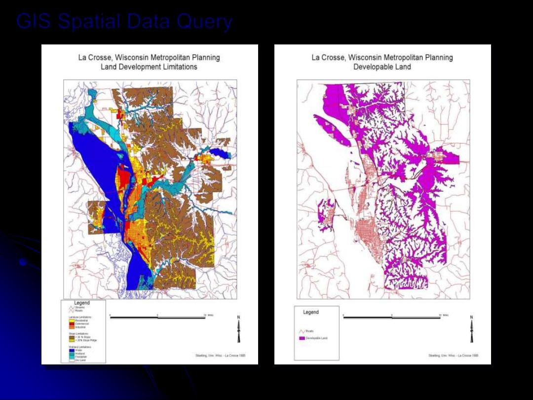
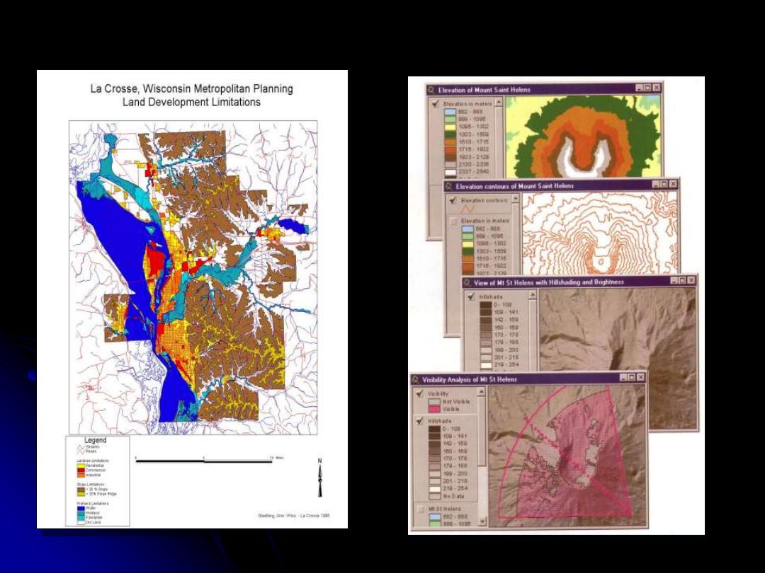
GIS Spatial Data Query
Querying La Crosse Land Data to Find Developable Land
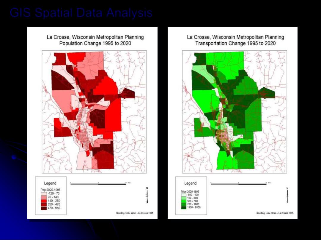
GIS Spatial Data Analysis
Predicting Increases in Transportation Based on Population
Change
GIS Data Display & Output
Hard Copy Map