
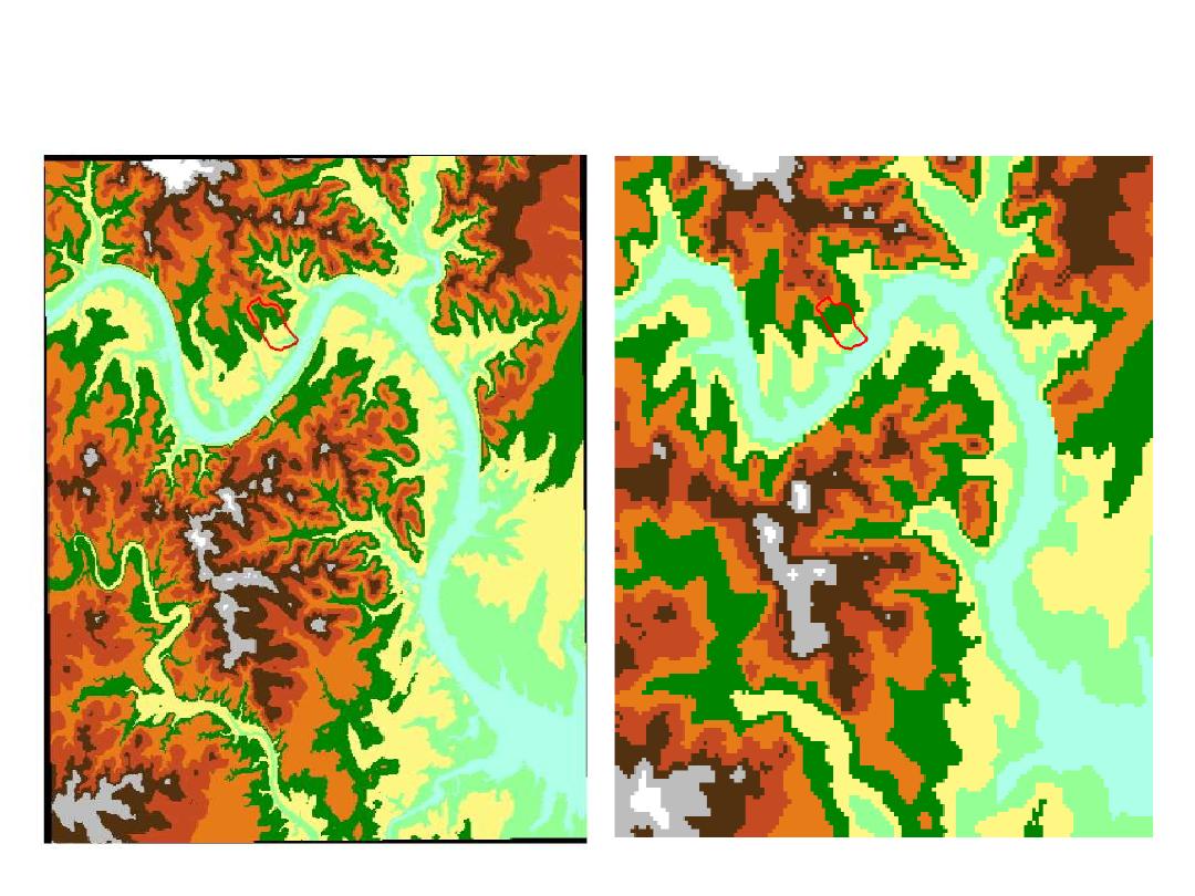
DEM’s, Watershed and Stream Network
Delineation
• DEM Data Sources
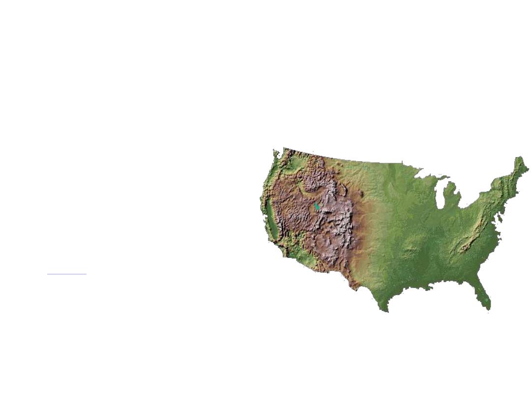
• Study Area in West Austin with a USGS
30m DEM from a 1:24,000 scale map
• Eight direction pour point model (flow
direction and flow accumulation grids)
• Stream network definition
• Watershed delineation

DEM Data Sources
• Shuttle Radar Topography Mission (
SRTM
)
• 30m
DEMs from 1:24,000 scale map
• 1”
National Elevation Dataset
• 3"
(100m) DEMs from 1:250,000 scale
maps
• 30"
DEM of the earth (
GTOPO30
)
http://srtm.usgs.gov/srtmimagegallery/index.html
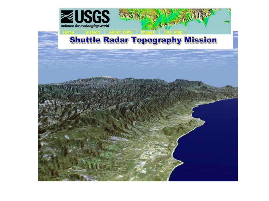
Santa Barbara, California
http://srtm.usgs.gov/srtmimagegallery/index.html
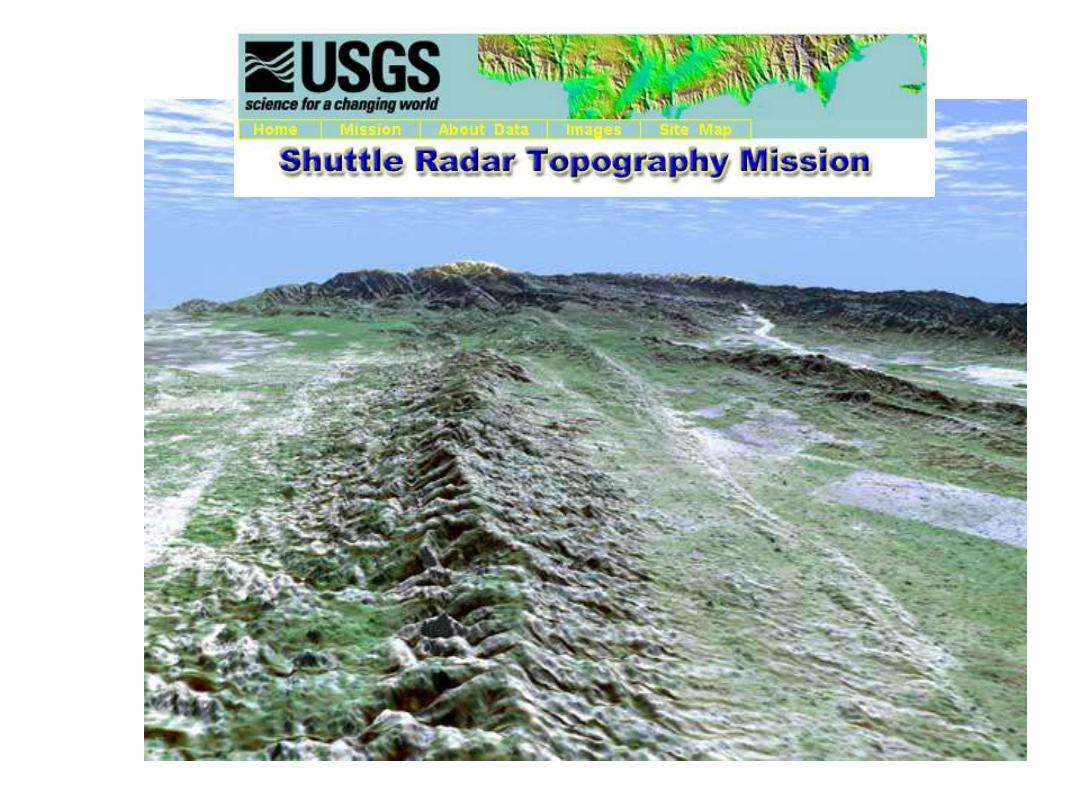
San Andreas Fault, California
http://srtm.usgs.gov/srtmimagegallery/index.html
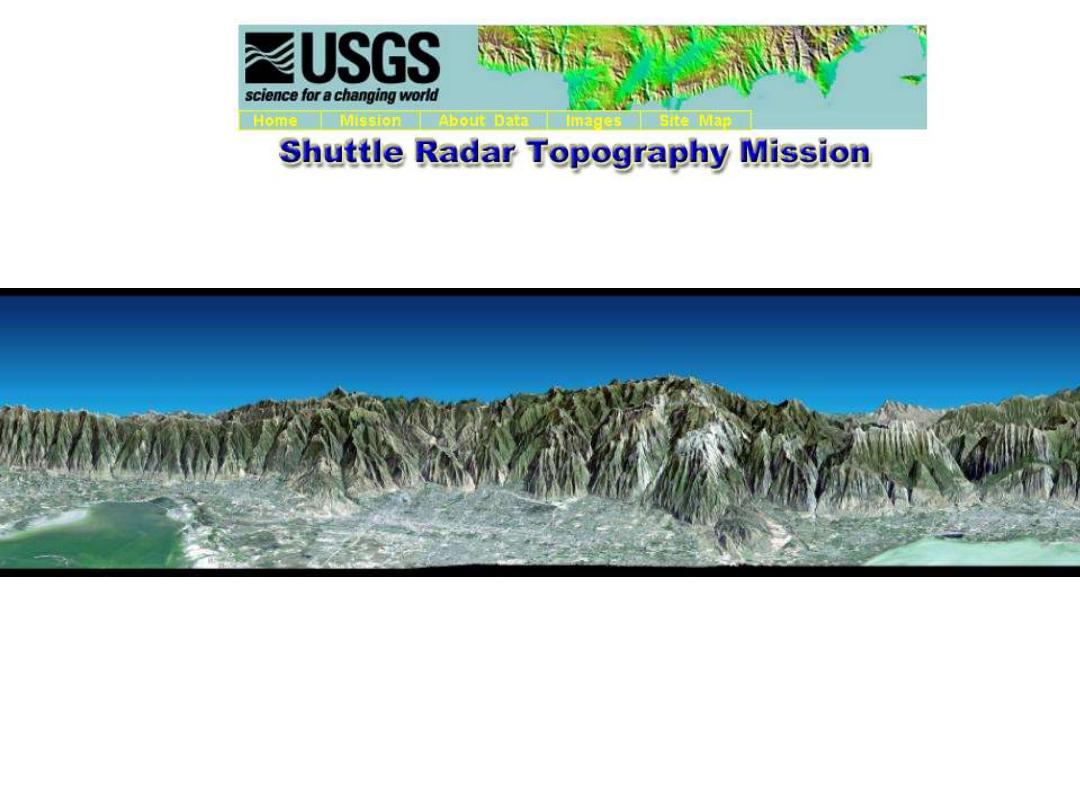
Salt Lake City, Utah
http://srtm.usgs.gov/srtmimagegallery/index.html
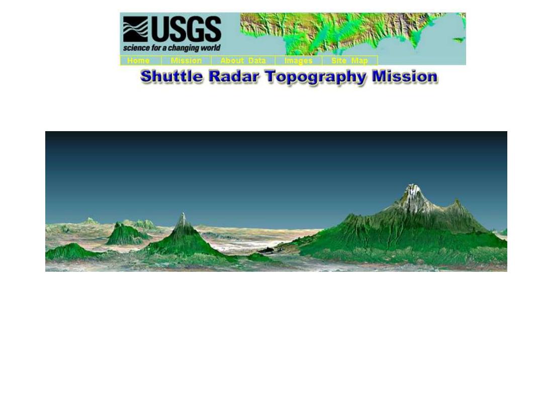
Mt Kilimanjaro, Tanzania
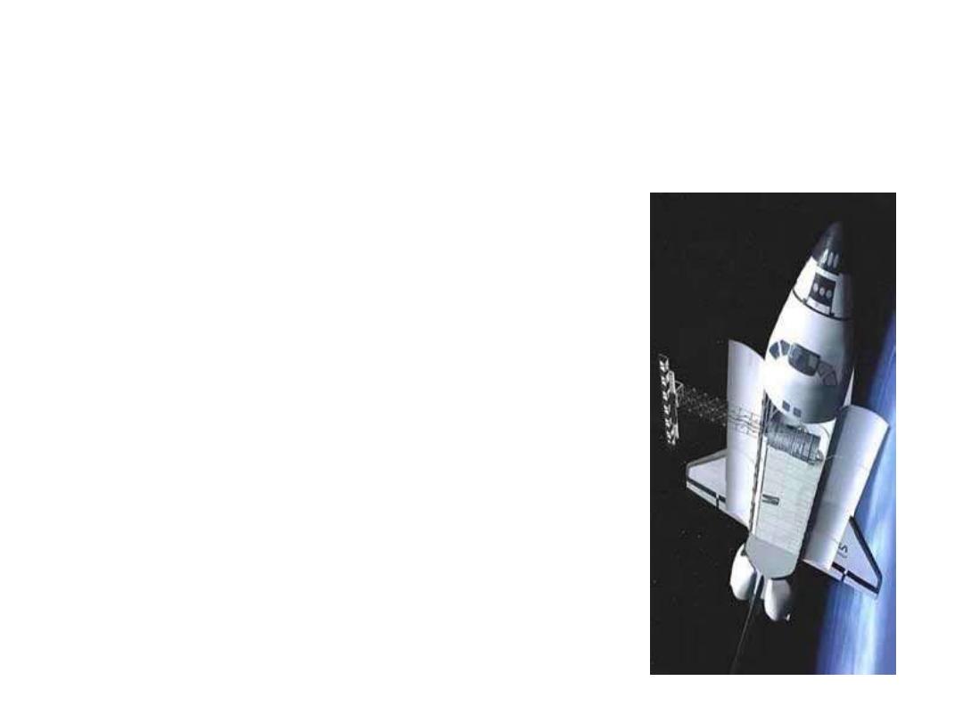
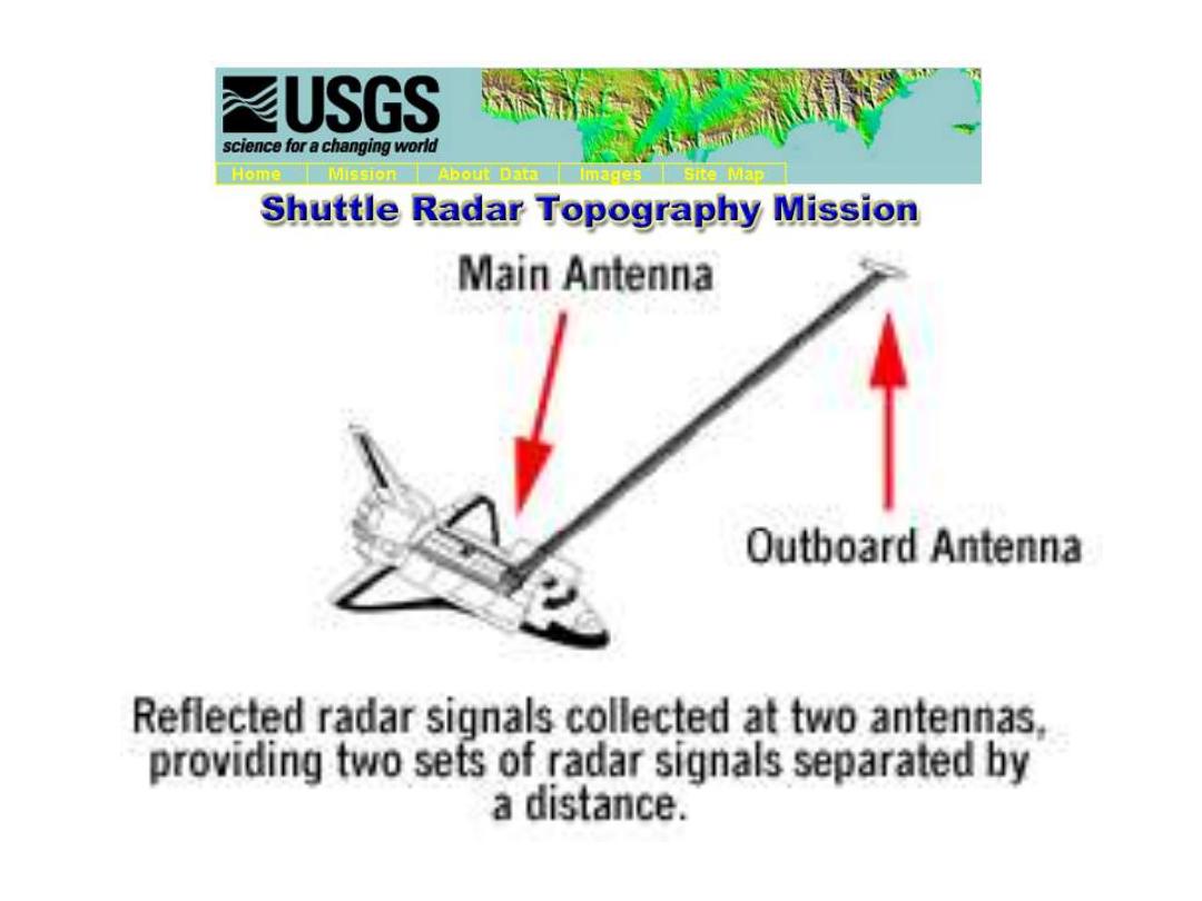
Shuttle Radar Topography
Mission (SRTM)
• 1 arc-second elevation
data for the United
States, 3 arc-second data
for the globe
• Produced by radar
measurements from a
Shuttle mission, Feb 11-
22, 2000
• http://srtm.usgs.gov/data
/obtainingdata.html

30m DEMs
• Best resolution
standardized data source
available for the US
• Coverage of the country is
incomplete
• Data by 7.5’ map sheets in
UTM
projection
for
US
http://edcwww.cr.usgs.gov/Webglis/glisbin/guide.pl/glis/hyper/guide/u
sgs_dem
Texas
http://www.tnris.state.tx.us/DigitalData/DEMs/dems.htm
National Elevation Dataset
• Seamless 1” DEM
for the
US in 1° x 1° blocks
• Compiled by
synthesizing
the 30m DEM’s
from
1:24,000 scale maps
to website
http://edcnts12.cr.usgs.gov/ned/

3” DEMs
• Derived by US Defence Mapping Agency,
available from USGS for
the whole US
• Data in geographic coordinates by
1;250,000 map sheet names
(1ºx 1º) cells
in
(1ºx 2º) maps
• Needs to be
projected
to planar coordinates
http://edcwww.cr.usgs.gov/doc/edchome/ndcdb/ndcdb.html
Cell Size
30m
100m

30" DEM GTOPO30
• Produced by
USGS
from 3" grids and
Digital Chart of the World topography
• Coverage complete for the
earth
• Projected cell size is
1km
• Data must be
projected
before use
http://edcwww.cr.usgs.gov/landdaac/gtopo30/gtopo30.html
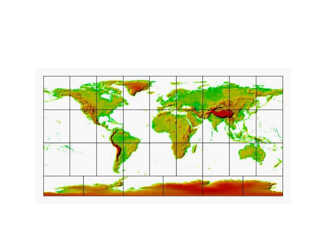
GTOPO30
Source: http://edcwww.cr.usgs.gov/landdaac/gtopo30/gtopo30.html
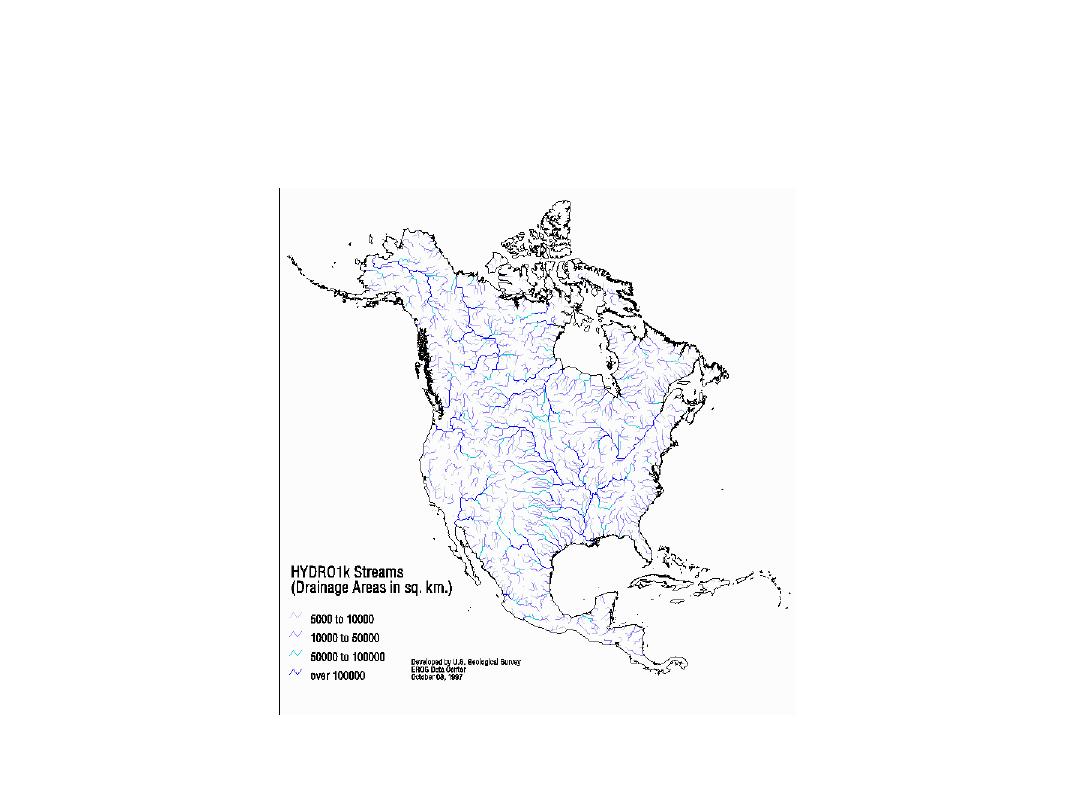
Drainage in North America
Source: http://edcwww.cr.usgs.gov/landdaac/gtopo30/hydro/namerica.html
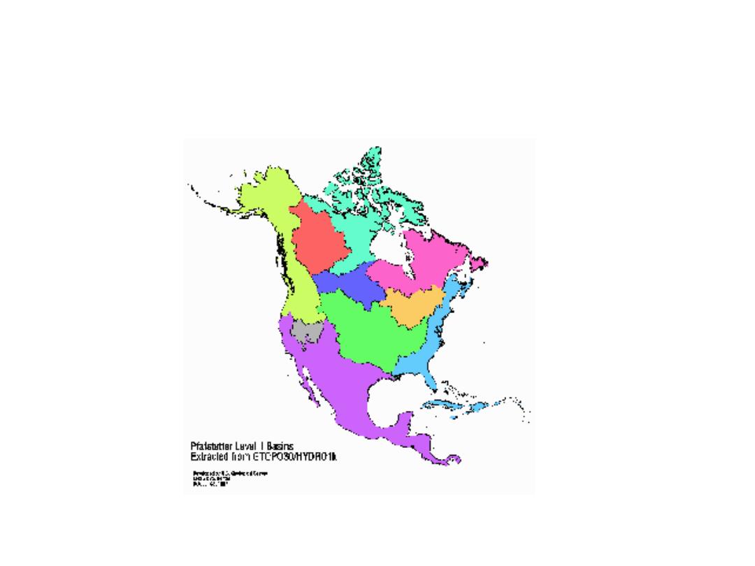
Drainage Basins of North America
Source: http://edcwww.cr.usgs.gov/landdaac/gtopo30/hydro/
na_basins
.html

Summary Concepts (3)
• Streams can be divided into
links
and
subwatersheds
defined for them
• Resulting grids can be
vectorized
• Standardized DEM
data sources
: 30m, 1”
3”, 30”
• Coverage
from local scale to the whole
earth