
Introduction to Aerial Photography
Interpretation

Remote Sensing
• The measurement of information of some property
of an object by a recording device that is not in
physical contact with that object.

Photo Interpretation
• The act of examining aerial photographs/images
for the purpose of identifying objects and
analyzing their significance

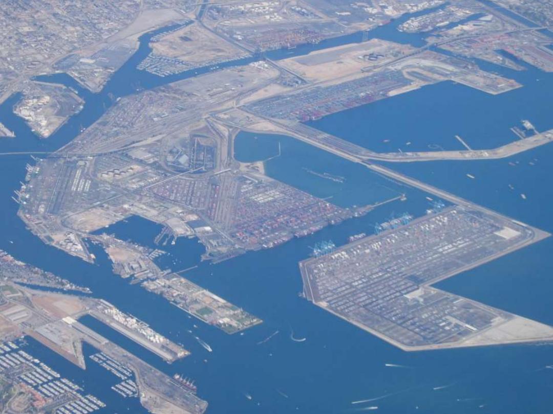
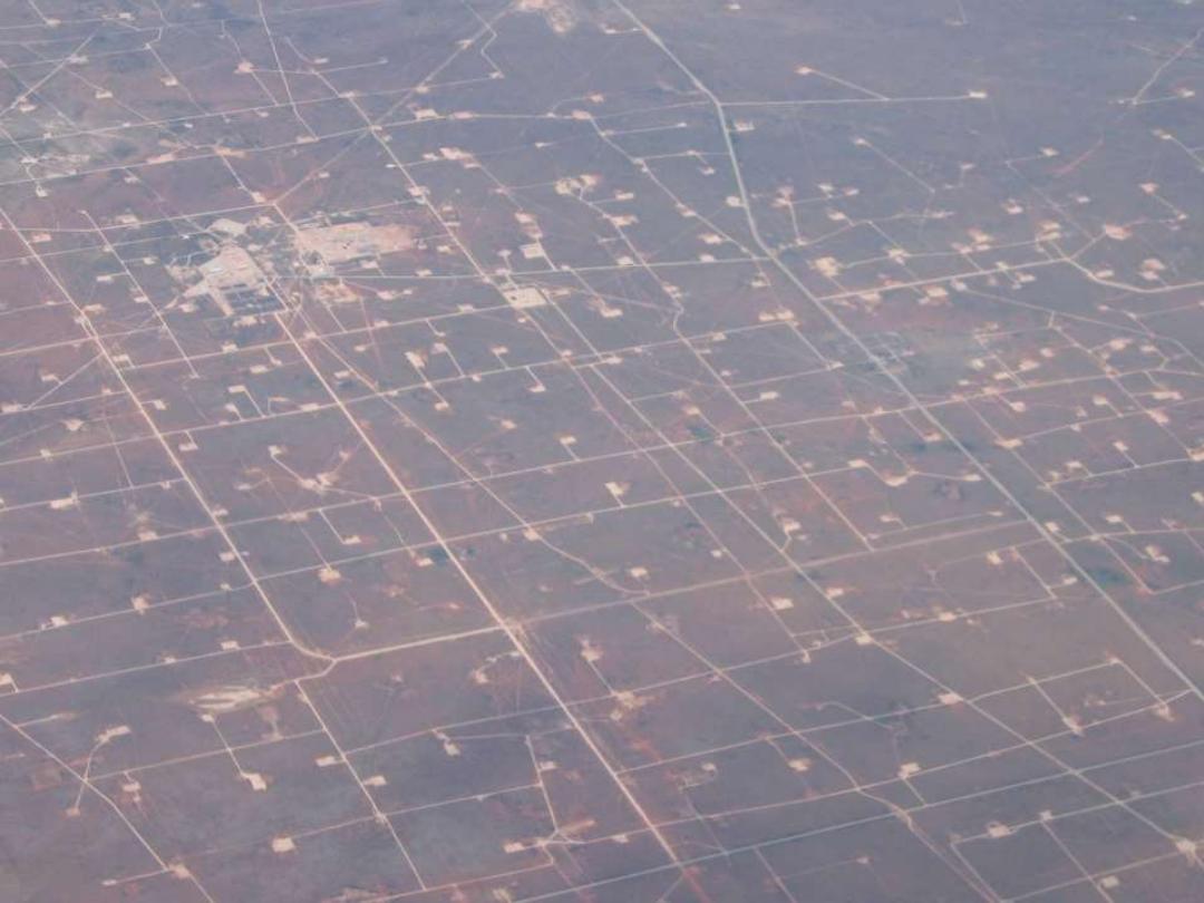
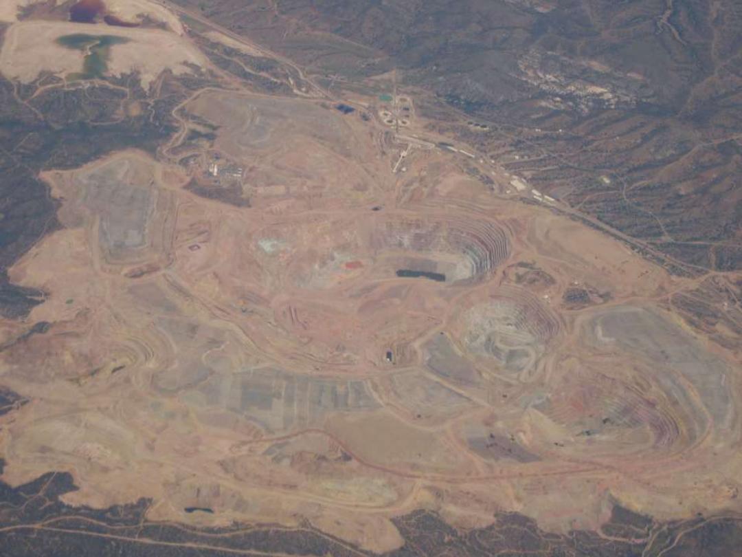
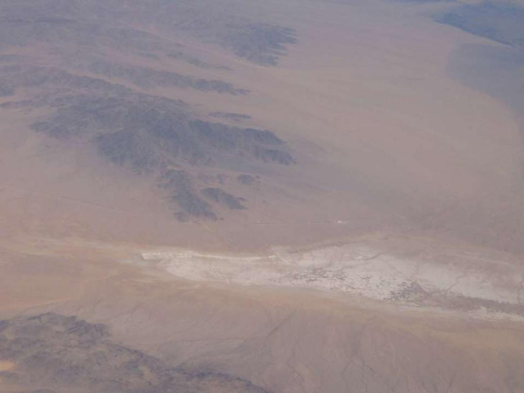
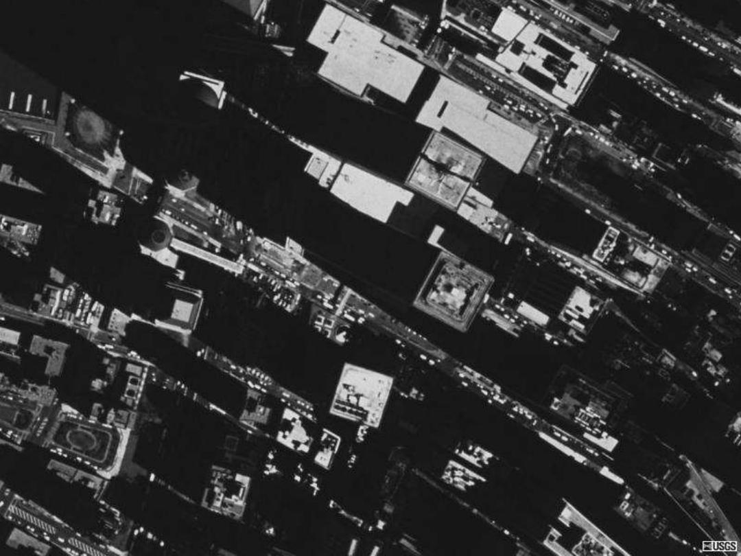
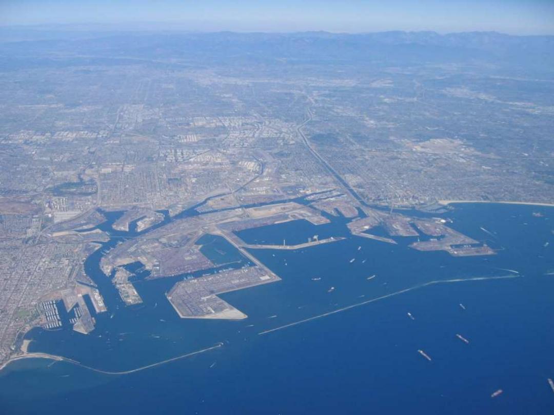
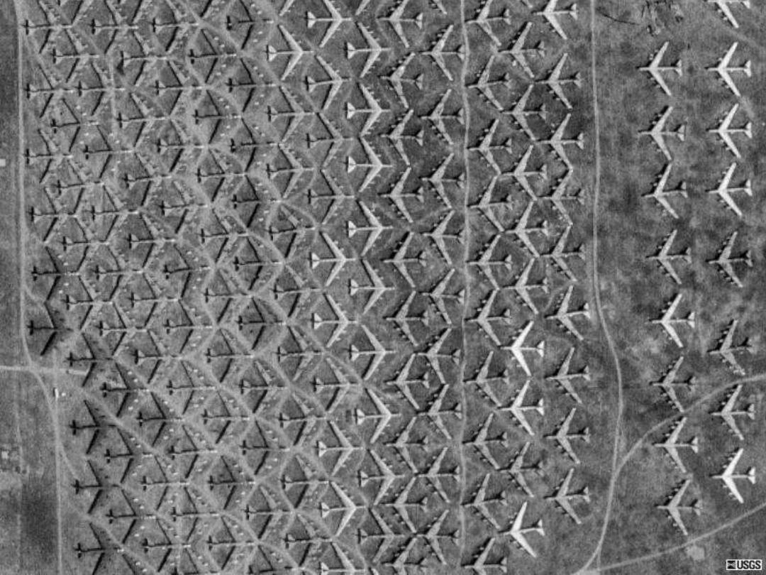
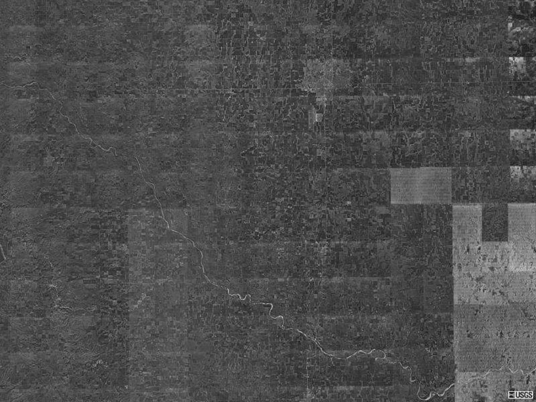
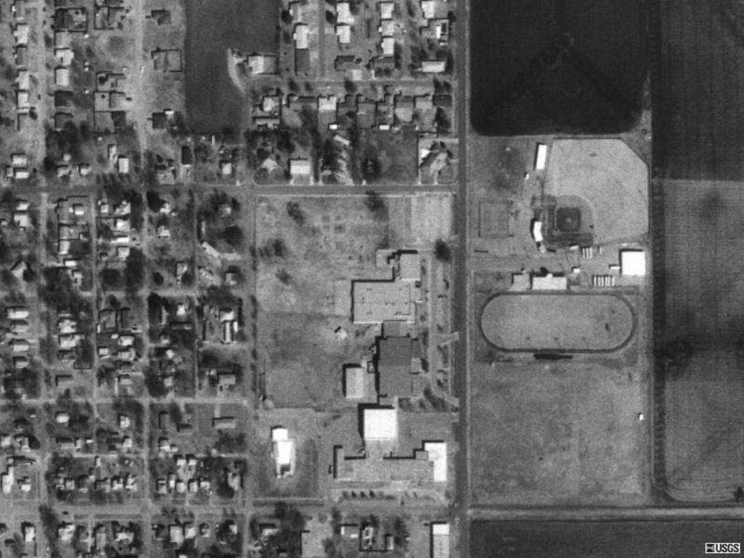
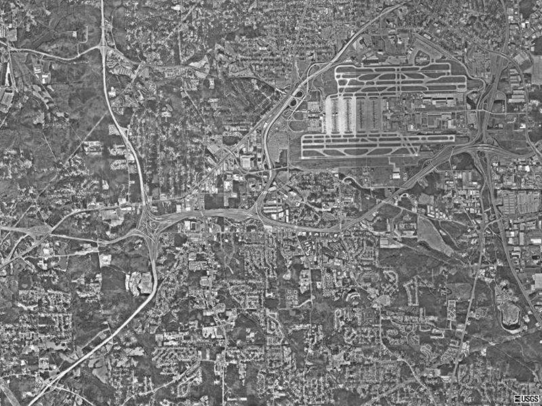
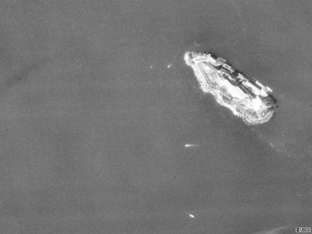
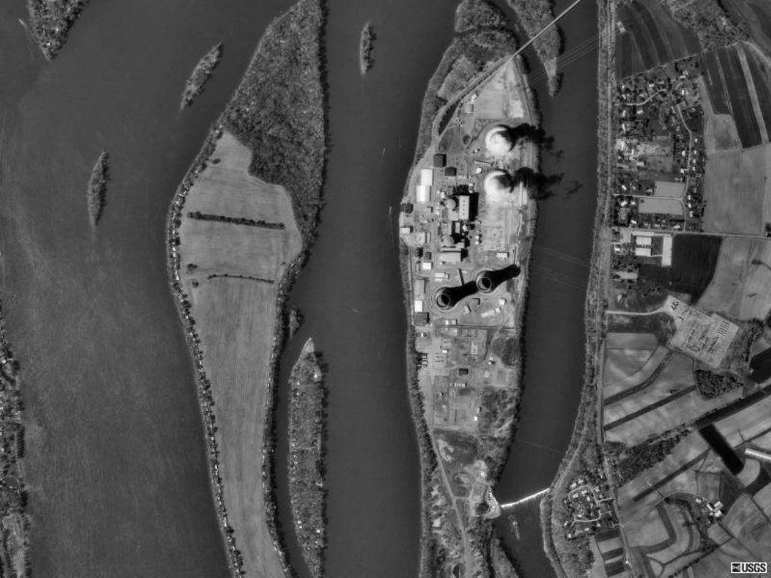
Air Photo Interpretation
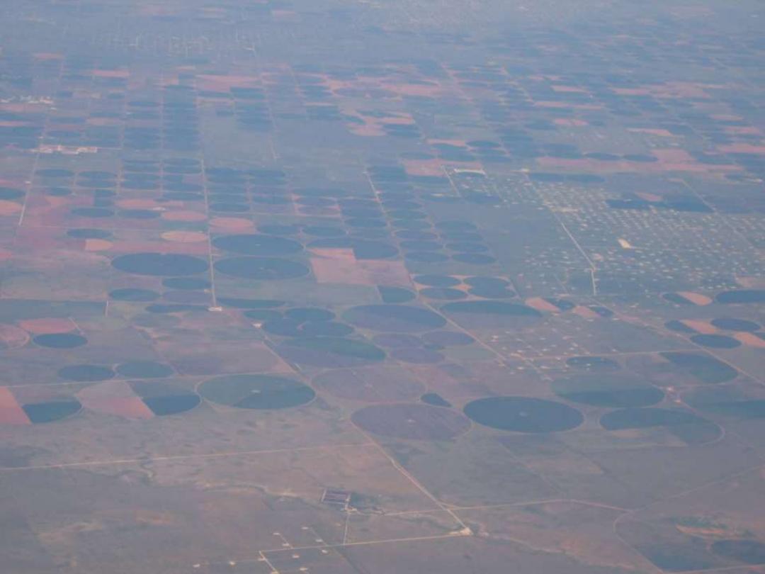
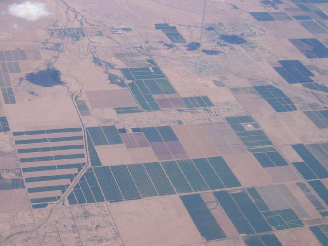
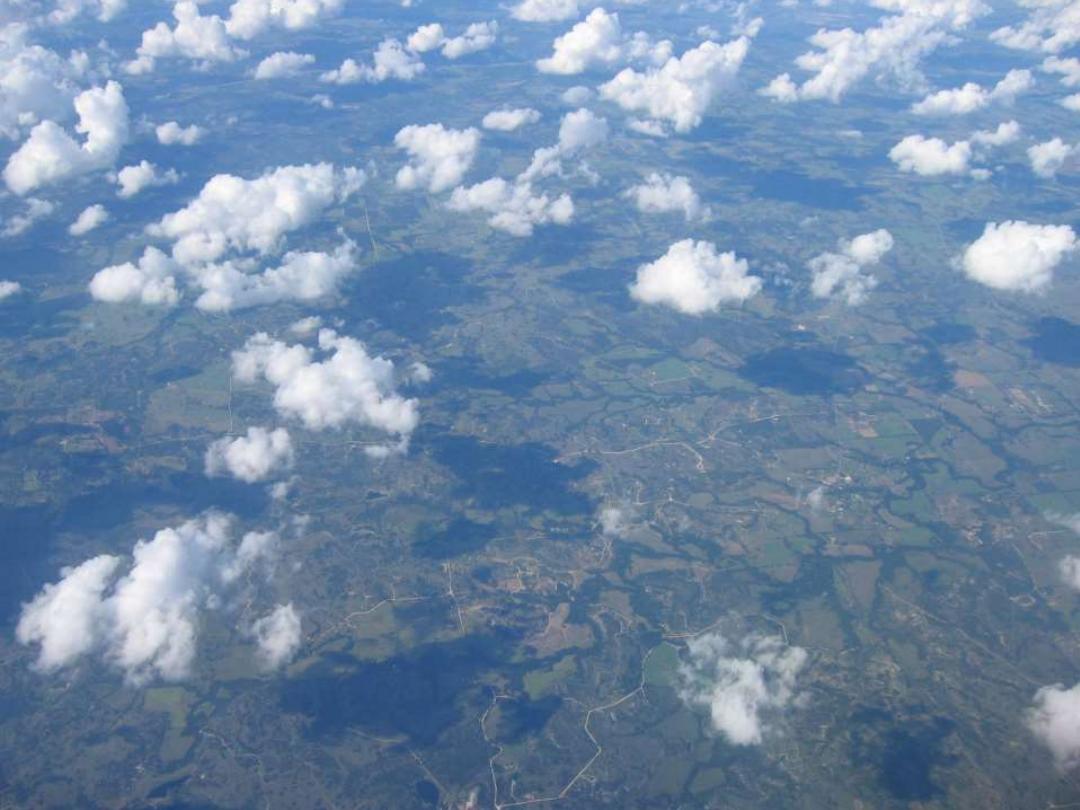
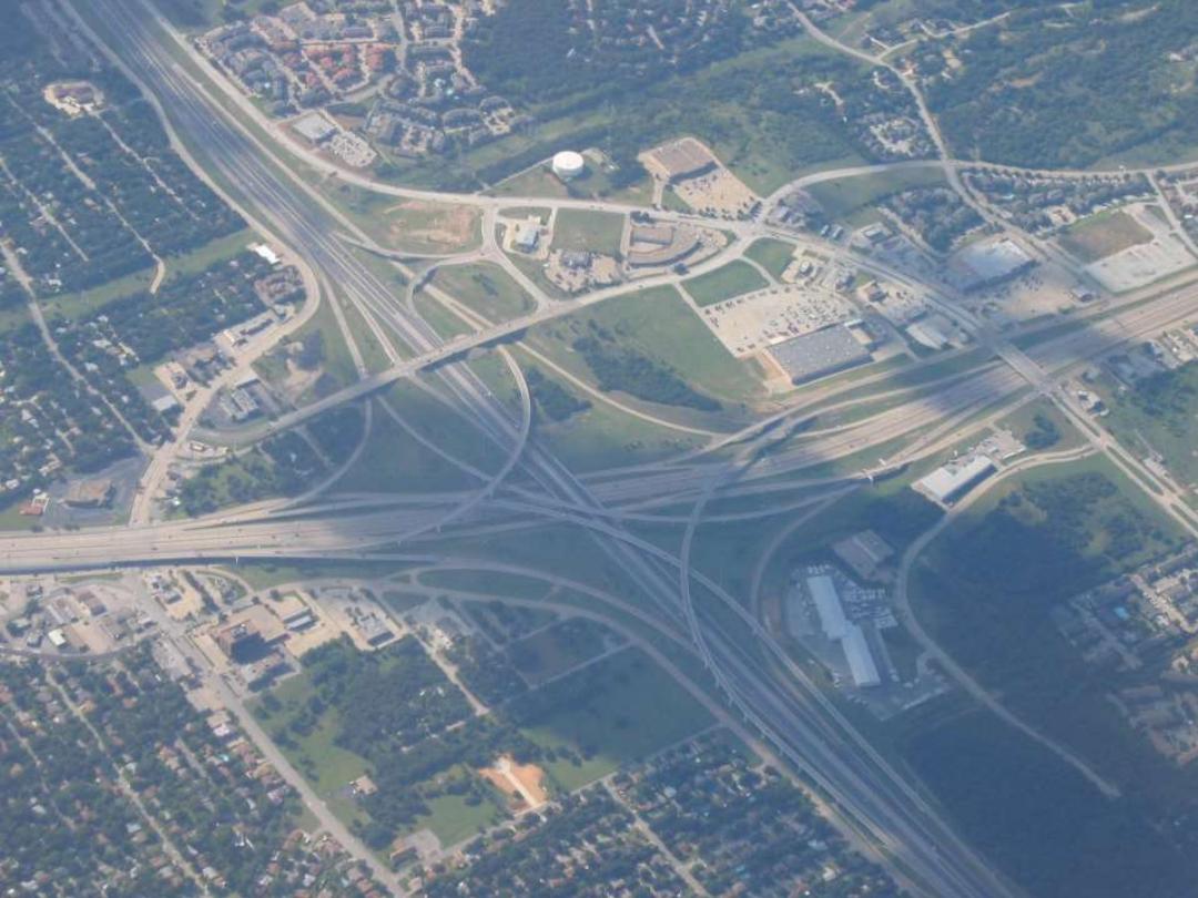
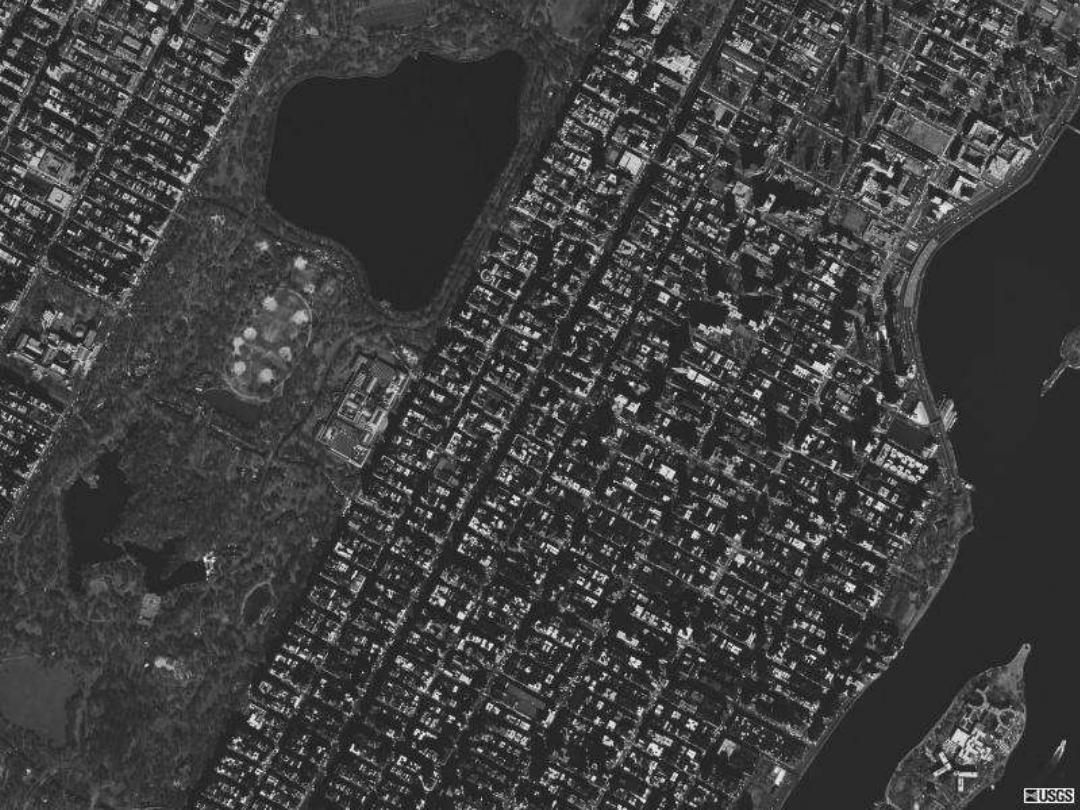
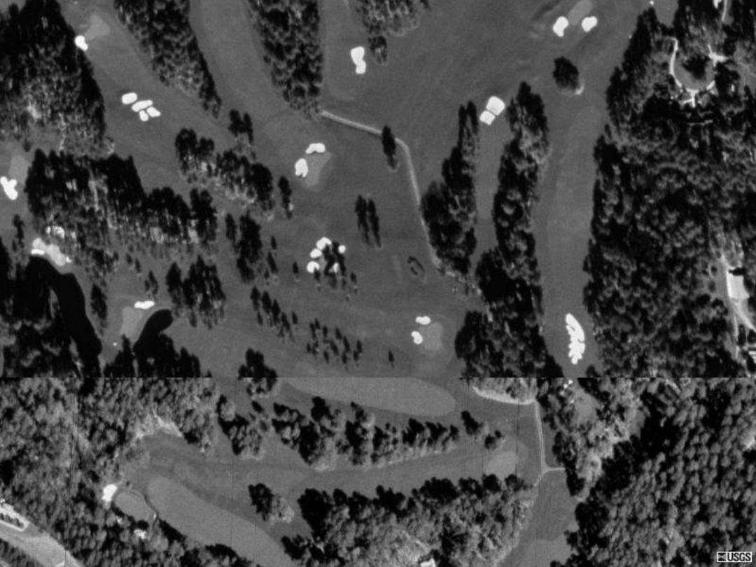
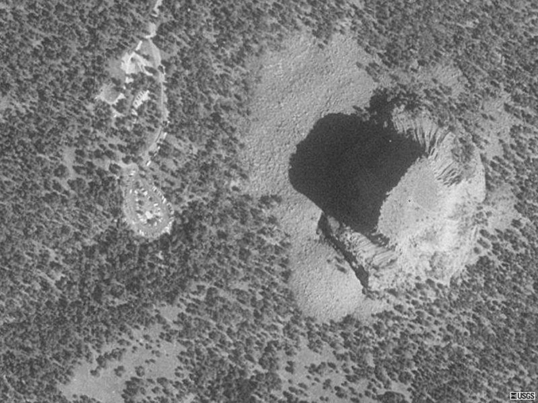
• Can you guess what you are looking at on the
following slides?


Issues with aerial photography
• Oblique (tilted) vs. vertical
• Small scale (less detail, larger area) vs. large
scale (more detail, smaller area) vs.
Low Oblique
High oblique
Vertical
Small scale
Large scale

Elements of air photo interpretation
These elements are what you use as clues when interpreting
an image:
• Tone/color
• Size (absolute/relative)
• Shape
• Texture
• Pattern
• Site
• Association
• Shadow

Tone/color

Size
Shape
Texture
Pattern
Site
Association
Shadow

Air Photo Applications
• Important for land planning and management
activities
– Land cover
• Types of features (ex. Corn field, forest, lake)
– Land use
• Economic function (ex. Agriculture, residential, industrial)