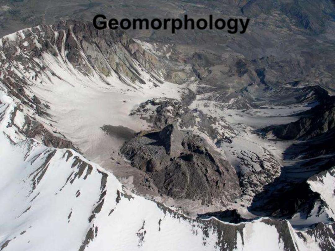
Geomorphology
•
"
What is above knows what is
below, but what is below does not
know what is above.
One climbs, one sees. One
descends, one sees no longer, but
one has seen."
"When one can no longer see, one
can at least still know..."
- Rene' Daumal, The Art of Climbing
Mountains, from 'Mount Analogue' -
Geomorphology
•
Literally means the study of earth landforms
-
Geo = Earth
-
Morph=Form
-
Logos= Study of
•
Involves understanding of
-
Mineralogy
-
Structure
-
Tectonics
-
Stratigraphy
-
Chemistry
-
Physics
-
Meteorology & Climatology
Course Description
•
Analysis of the various land forms of the
Earth's surface in terms of their form,
origin, and evolution. Field observations.
Mathematical and experimental models.
•
The influence of the different geologic and
climatic environments upon the
development of land forms.
•
Map and air photo interpretation.
Snowfall in the zone of accumulation
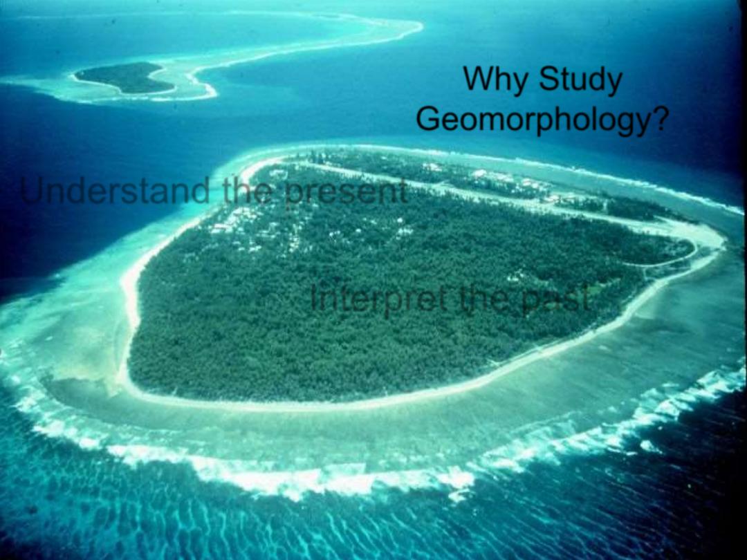
Why Study
Geomorphology?
•
Understand the present
•
Interpret the past
•

Geomorphologic process
•
Exogentic source
•
Tectonic , Volcanic
•
Endogentic source
•
Rivers, Glacier, Aeolian, Rain, Marine
•
In your introductory geology class, you
learned about surface features.
In this class, we try to understand how and why
they have their shape
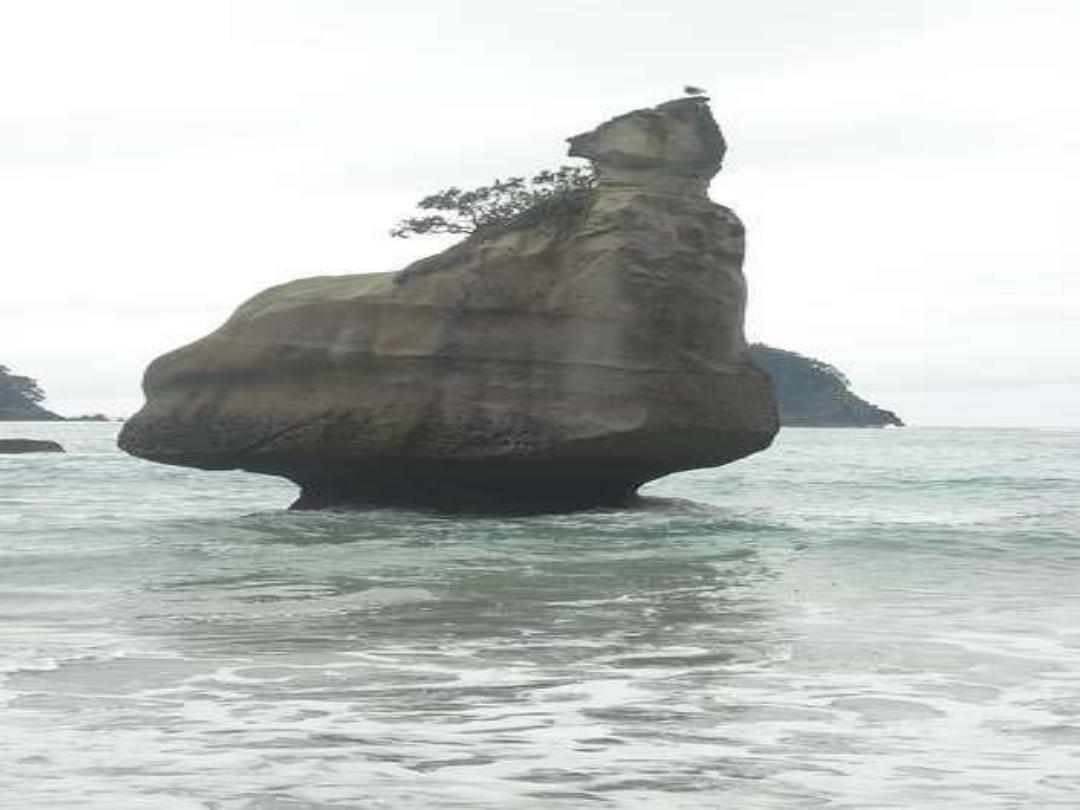
Sea-stack, tides, tombolo, erosion by waves
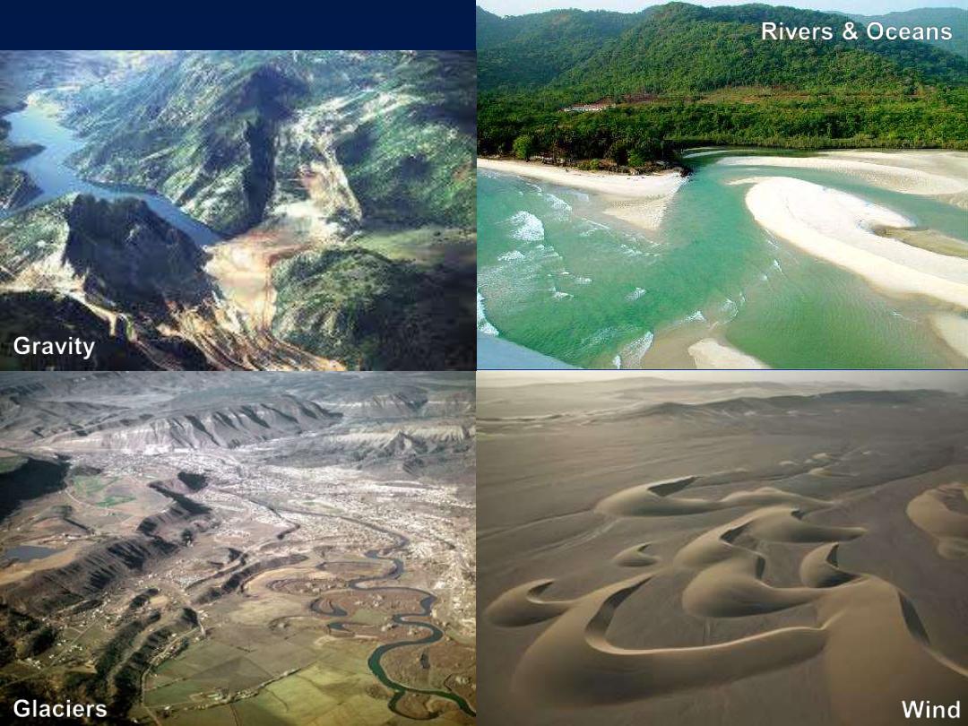
Agents of Change...
Glaciers
Rivers & Oceans
Wind
Gravity
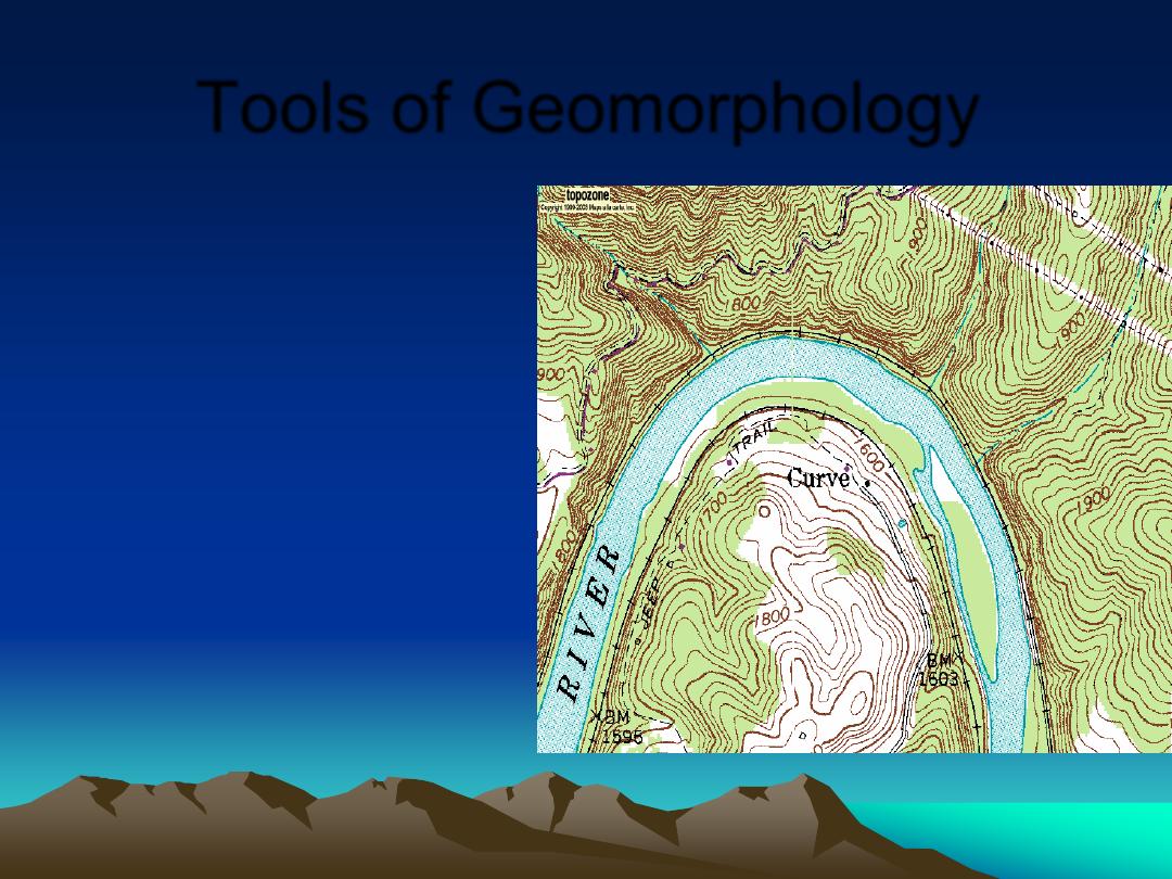
Tools of Geomorphology
•
Maps
– Topographic
– Surface Geologic
•
Air photos
•
Math Models
•
Experiments
•
Ground Truth
Example: pointbar and cutbank. mid-channel bar, incised meander
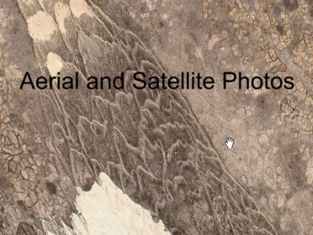
Aerial and Satellite Photos
Fanabosi Tsunami Chevrons, Southern Madagascar
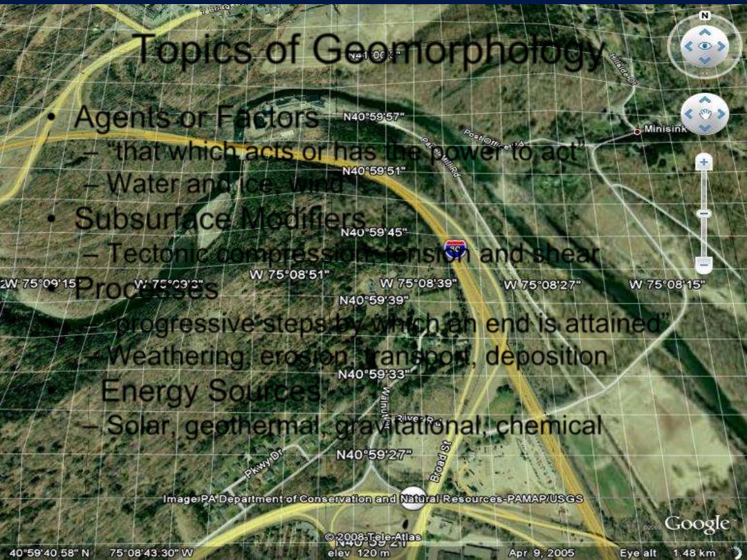
Topics of Geomorphology
•
Agents or Factors
– “that which acts or has the power to act”
– Water and ice, wind
•
Subsurface Modifiers
– Tectonic compression, tension and shear
•
Processes
– “progressive steps by which an end is attained”
– Weathering, erosion, transport, deposition
•
Energy Sources
– Solar, geothermal, gravitational, chemical
Godfrey Ridge East and Brodhead Creek, DWG, PA, , detail
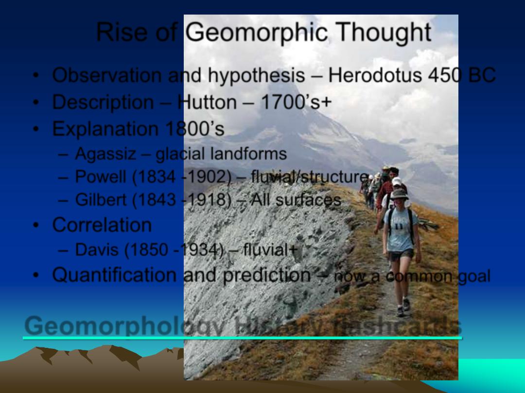
Rise of Geomorphic Thought
•
Observation and hypothesis
– Herodotus 450 BC
•
Description
– Hutton – 1700’s+
•
Explanation 1800
’s
– Agassiz – glacial landforms
– Powell (1834 -1902) – fluvial/structure
– Gilbert (1843 -1918) – All surfaces
•
Correlation
– Davis (1850 -1934) – fluvial+
•
Quantification and prediction
–
now a common goal
Horn, cirque, col, rock slide, talus
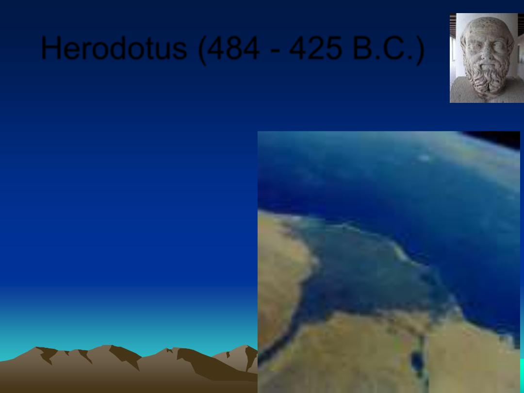
Herodotus (484 - 425 B.C.)
•
Rocks on land in Egypt contained
marine fossils.
•
Assumed that the
Nile Delta took
thousands of years
to form.
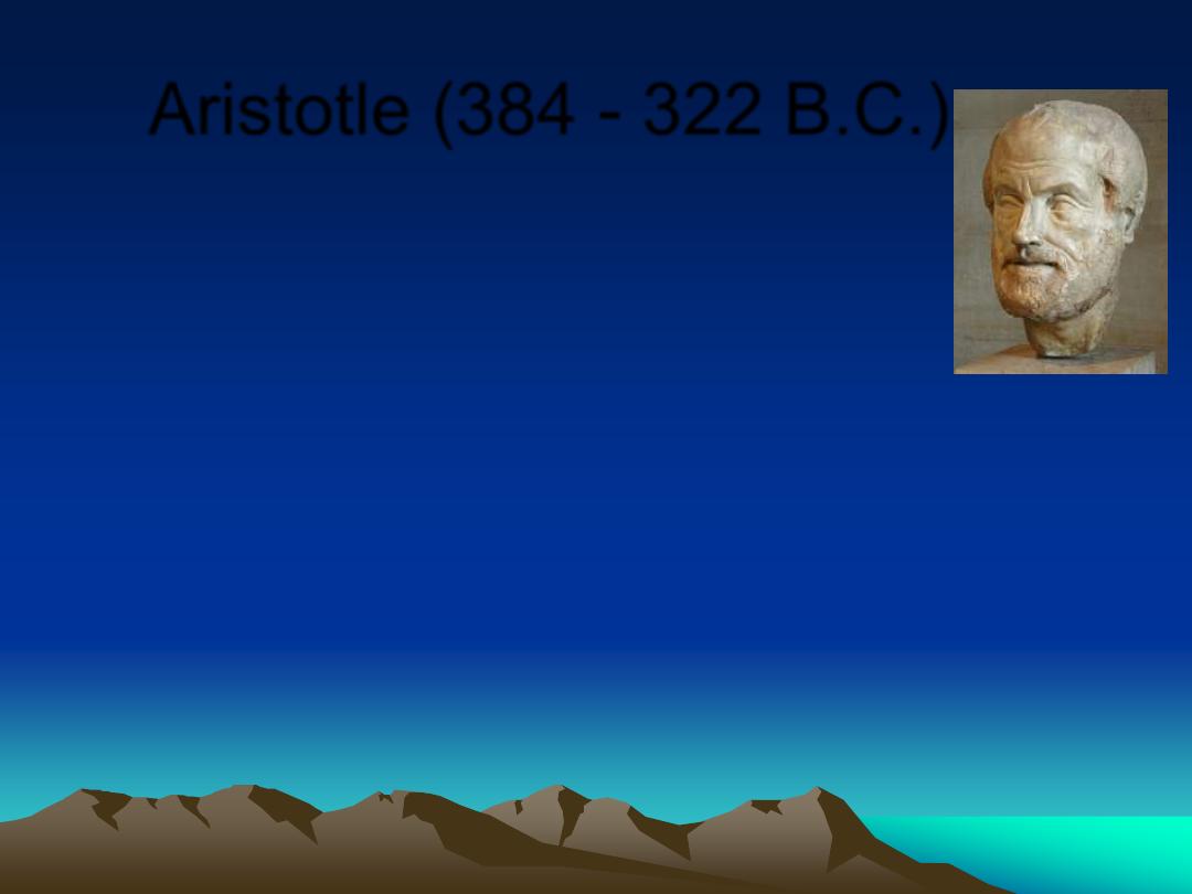
Aristotle (384 - 322 B.C.)
•
Dry land can be submerged.
•
Land can be raised from beneath the
ocean.
•
Described erosion by rivers, and
deposition in deltas.
•
Lucretius (99-55 BC): Recognized
weathering processes on rocks.
•
Seneca (3-65 AD): Observed erosion of
valleys by running water.
•
Ibn-Sina (980-1037 AD): Concluded that
mountains could be uplifted, and later
eroded.
Renaissance Period
•
Leonardo DaVinci (1452-1519) found
marine fossils on land
•
G. Bauer [
“Agricola”] (1494-1555)
hypothesized that mountains were
sculpted by weathering and mass
movements
•
Steno (1638-87) regarded water as the
most significant agent of erosion
viscosity
Landscape Creation vs.
Landscape Development
•
Biblical interpretations hindered the
proliferation of non-catastrophic landform
evolution theories.
•
Holly Quran:
•
(:
ُصُقنَن َض ْرَلأا يِتْأَن اَّنَأ ْا ْوَرَي ْمَل َوَأ
ْحَي ُ هللّا َو اَهِفاَرْطَأ ْنِم اَه
ُمُك
َ سِحْلا ُعي ِرَ س َوُه َو ِهِمْكُحِل َبِهقَعُم َلا
ِاب
{
41
}
( )
سورة الرعد
.)
•
Werner (1749-1817) theorized that all
mountains formed under water as layers of
sediment, , and were ultimately sculpted
by rapidly receding oceans.
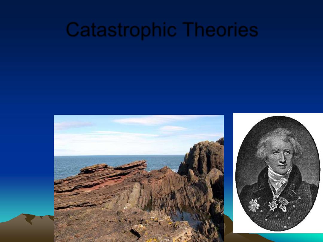
Catastrophic Theories
•
Georges Cuvier: Great catastrophic
floods produced unconformities, and
carved Earth
’s landscape.
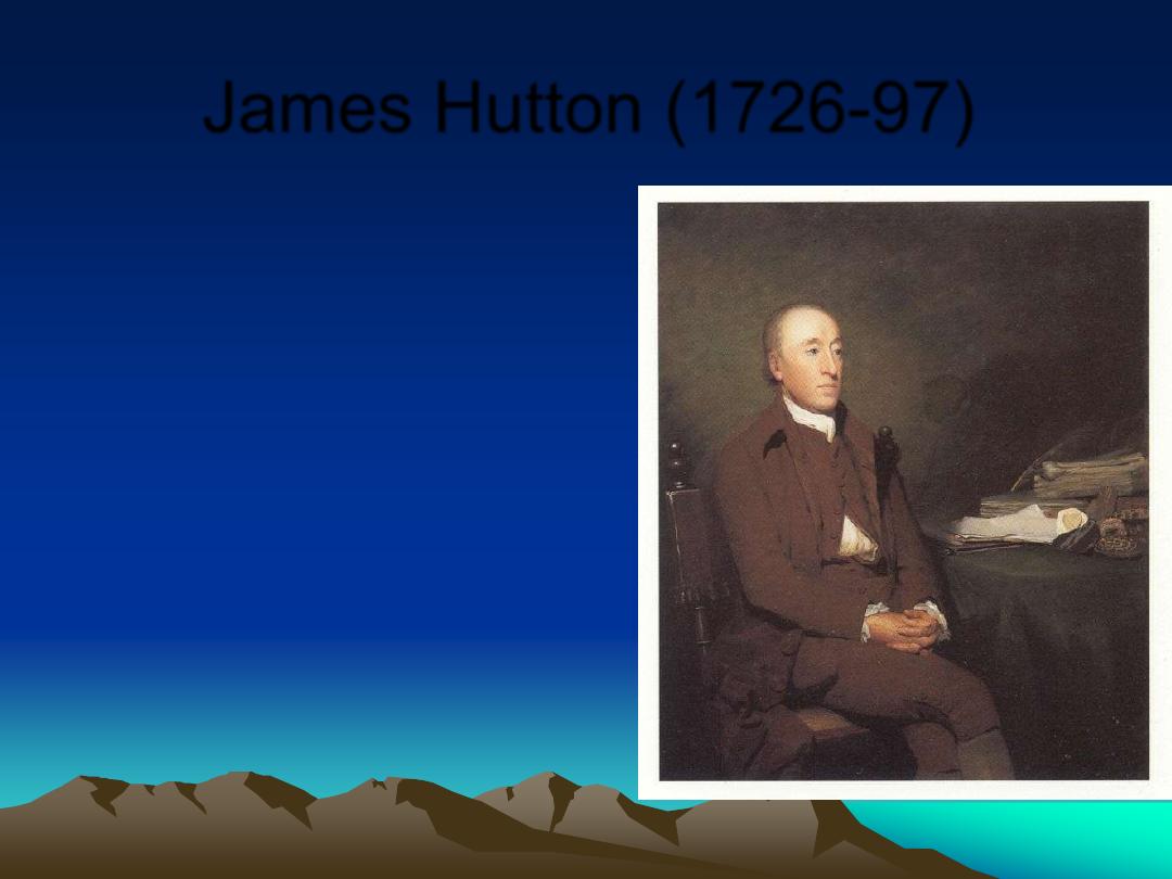
James Hutton (1726-97)
•
Granites form through
heat & fusion deep
underground, and are
later uplifted and
exhumed.
•
Landforms are
produced by slow,
continuous
processes.
•
Uniformatarianism
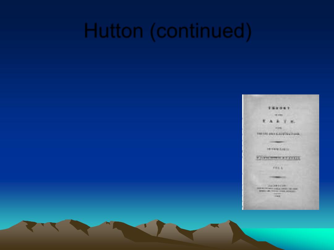
Hutton (continued)
•
Sediments are eroded from
landforms, only to be
deposited and later lithified
into new rocks.
•
There is neither an apparent
beginning nor end to landform
development.
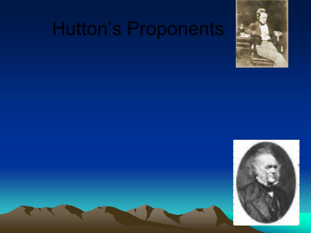
Hutton
’s Proponents
•
John Playfair (1748-1819)
– Illustrations of the Huttonian Theory of the Earth (1802).
– Streams carve their own drainage systems.
– Stream reaches and maintains equilibrium, adjusted to
local gradient. CONCEPT OF
“GRADED STREAM”
– The Earth is very ancient; ongoing processes
continue to change it.
•
Charles Lyell (1797 - 1875)
The Principles of Geology (1833 - 1875)
A strong promoter of Uniformitarian theory
A vehement opponent of Catastrophism
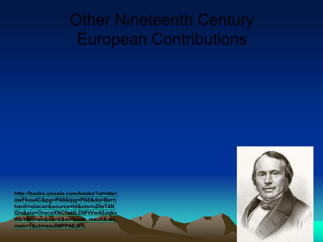
Other Nineteenth Century
European Contributions
•
Venetz, and Bernardhi: Moraines and
erratics prove glaciations extended from
polal regions(1832)
•
Louis Agassiz : Recognized glacial
landforms in Europe & N. Am.- introduced
the concept of Ice Ages (1837)
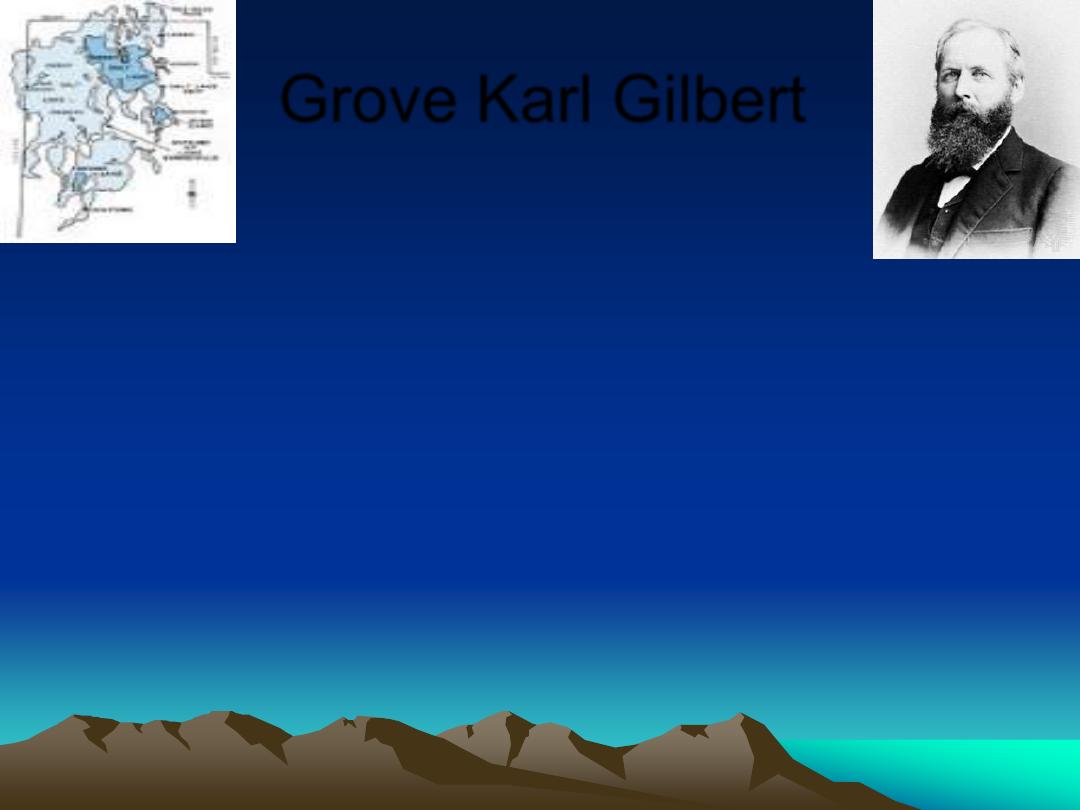
Grove Karl Gilbert
•
(1890) Recognized some Utah landscapes
were formed by Pleistocene Lake Bonneville.
Great Salt Lake and Bonneville salt flats are
remnants
•
Contributed to the understanding of river
incision.
•
Identified lunar craters as caused by impacts,
and carried out early impact - cratering
experiments
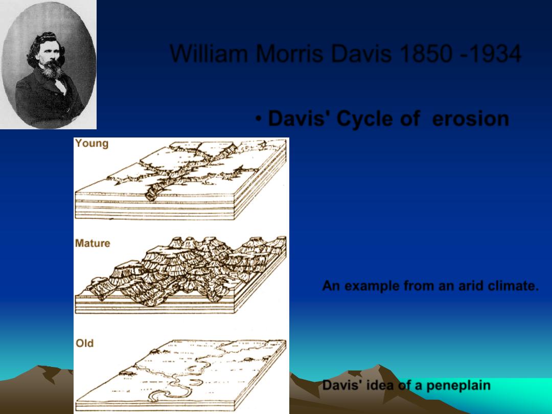
William Morris Davis 1850 -1934
• Davis' Cycle of erosion
An example from an arid climate.
Davis' idea of a peneplain
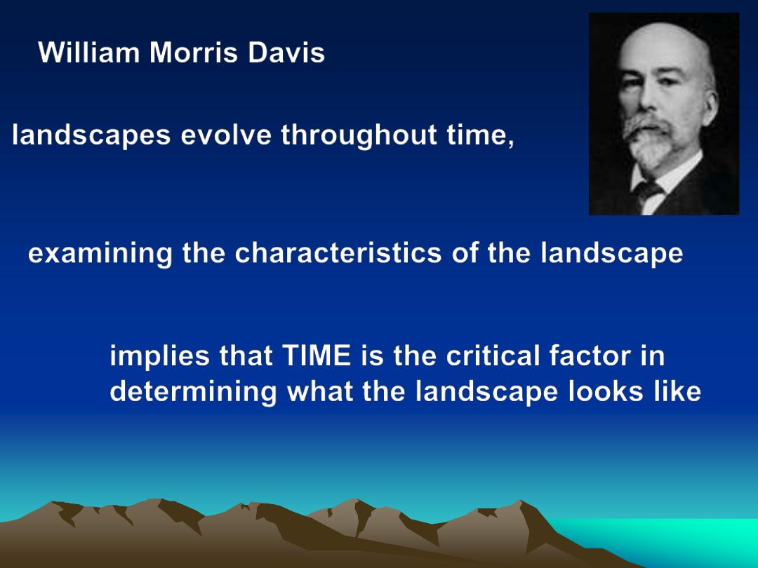
William Morris Davis
landscapes evolve throughout time,
examining the characteristics of the landscape
implies that TIME is the critical factor in
determining what the landscape looks like
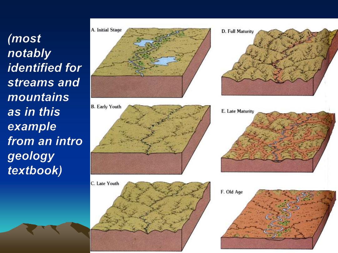
Davis' Landscape evolution model
(most
notably
identified for
streams and
mountains
as in this
example
from an intro
geology
textbook)
Our Goal
•
We wish to understand surface
topography at a fundamental level.
•
We want to understand on a much finer
scale.
Concepts in Geomorphology
•
Systems
– “an assemblage of parts forming a whole”
– Fluvial, glacial, coastal,
– foreland basin, collisional mountains
•
Climate
– Determines dominant agents
•
Time
– Reshaping = "Evolution" of landforms/landscapes
•
Systems can dominate large areas.
– Regions summarized as Physiography Maps
Regional Physiography
Topography
Early geomorphologists recognized these provinces based on topography
Regional Physiography
You should all be able to explain every province: Plate Tectonics, Earth History
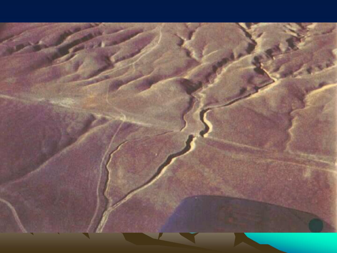
San Andreas Fault on the Carrizo Plain in California
Structure, climate and geomorphology
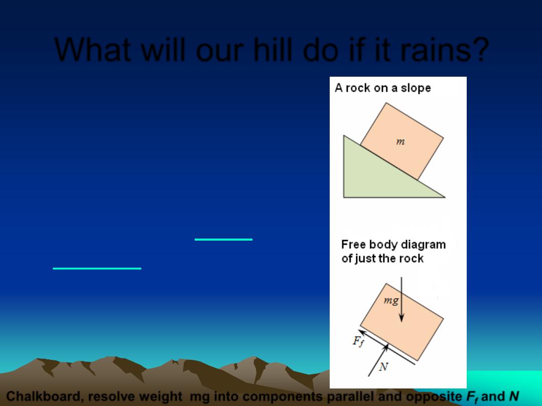
What will our hill do if it rains?
•
Understanding
geomorphic processes
requires a little applied
physics. For example,
we will study
•
Geomorphologists conduct
experimental determinations of
friction with rock and ice when
considering slope failure and
glaciers.
Chalkboard, resolve weight mg into components parallel and opposite F
f
and N
•
To keep the rock from sliding,
the static friction force F
f
must be greater
than the opposing component of gravity
force F
o,
that is parallel to the slope.
•
If the vertical makes an
angle
a
to the slope, then this friction
opposing force F
o
is
•
F
o
= mg cos
a
•
This is the friction force just before the rock slips
•
If rain gets between the surfaces, or the rock moves friction force F
f
decreases
a
Notice
a
is 90 - dip
• Chalkboard: right triangle,
unit circle, sine and cosine
mg

Future Labs
•
Earth scientists must be able to recognize
and interpret surface features using topo
maps and air and satellite photos. Before
you head to the field, you need to know
what to expect.
•
You must be able to recognize
geomorphic features in map and side view
from your prospective field area, before
your field studies begin.
•
We will improve your skills with these tools
in the laboratory portion of the course.

Homework for this class
•
For homework you will answer questions
from the lectures and labs, and will do
calculations and make observations based
on lecture and lab topics.
•
Homework is practice for the tests